The Solomon Islands from West to East
Images taken byBrian Taylor
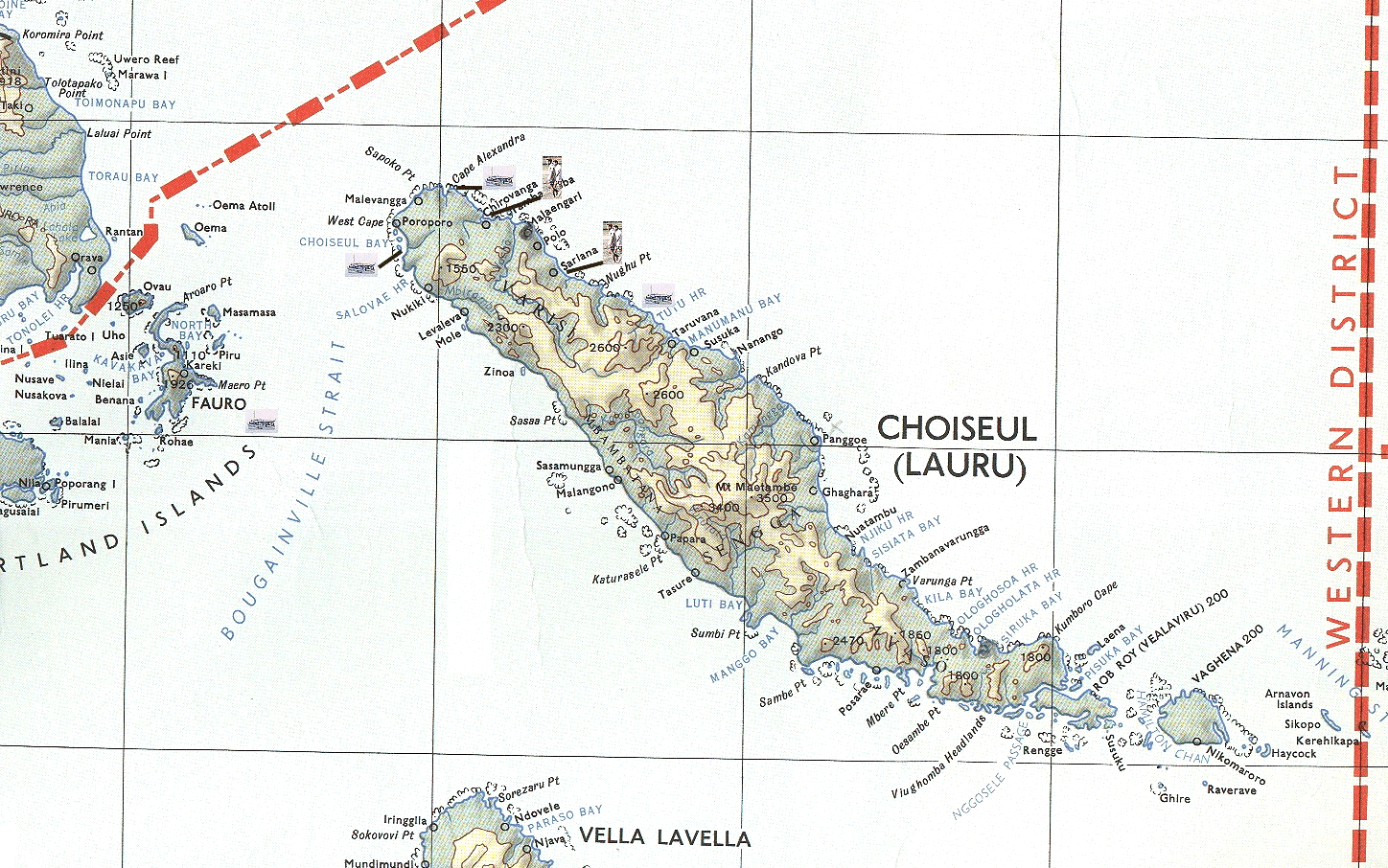
The north-western tip - Choiseul Island
Choiseul, the northern and westernmost of the major islands, is a long (150 km), relatively narrow (maximum width 35 km) island with a central longitudinal mountain chain rising to 1067 m. The coastal flatland is narrow with the exception of the somewhat elevated coral shelf at the northwestern end including the islands of Choiseul bay; on one of the latter, Taro Island, there is a small airfield. The total land area including Waghena, is 3108 km². The relatively small human population of about 7000 (in 1970) lives principally on the western half of the north and south coasts and in a few inland villages. Waghena was used as a resettlement area for Gilbertese Islanders.
 Title: The northwestern tip |
||
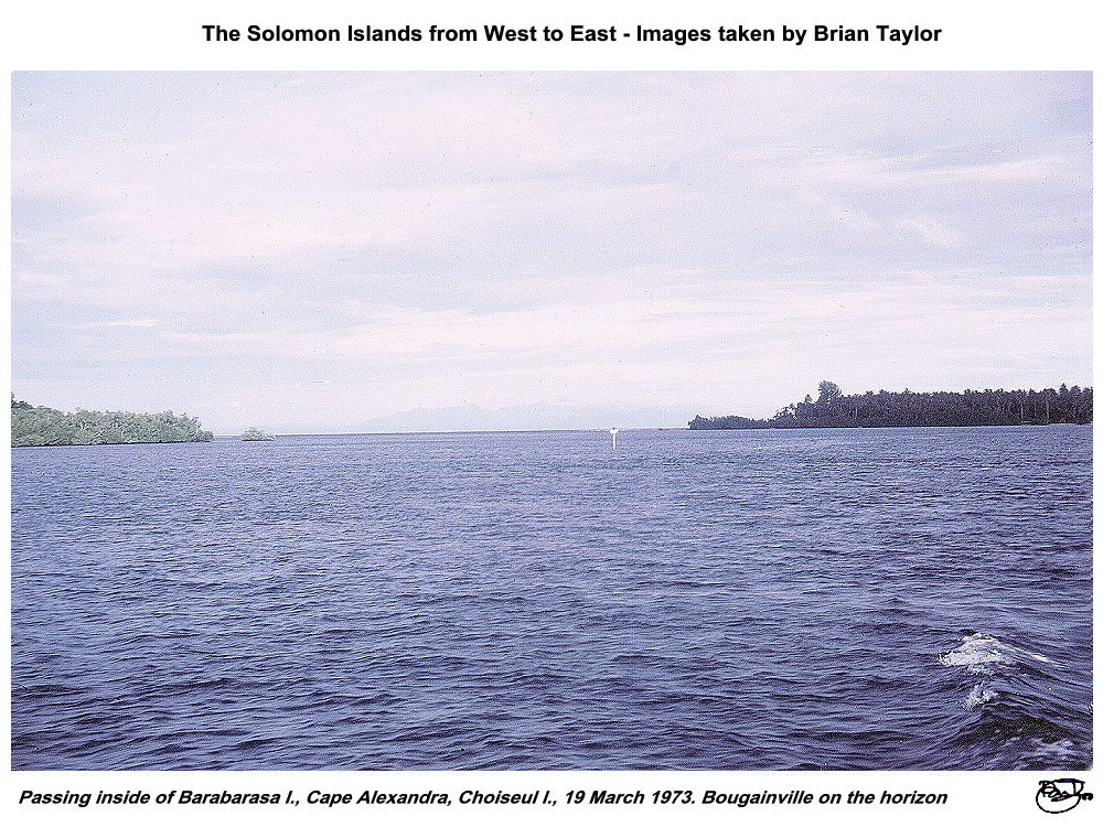 Title: Passing inside of Barabarasa I., Cape Alexandra, Choiseul I., 19 March 1973. Bougainville on the horizon. |
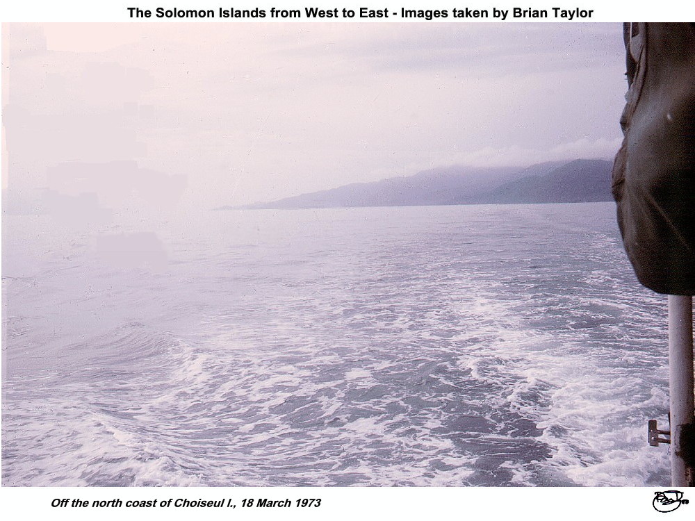 Title: Off the north coast of Choiseul I., 18 March 1973 |
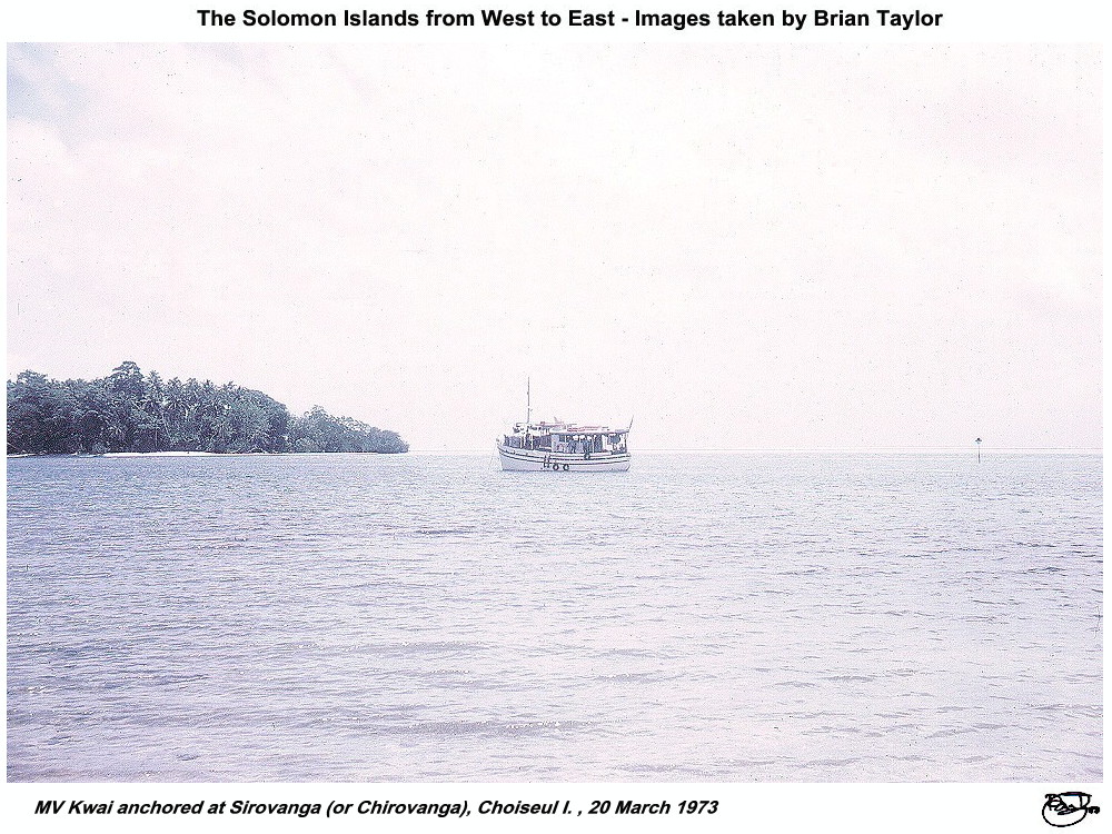 Title: MV "Kwai" anchored at Sirovanga (or Chirovanga), Choiseul I. , 20 March 1973 |
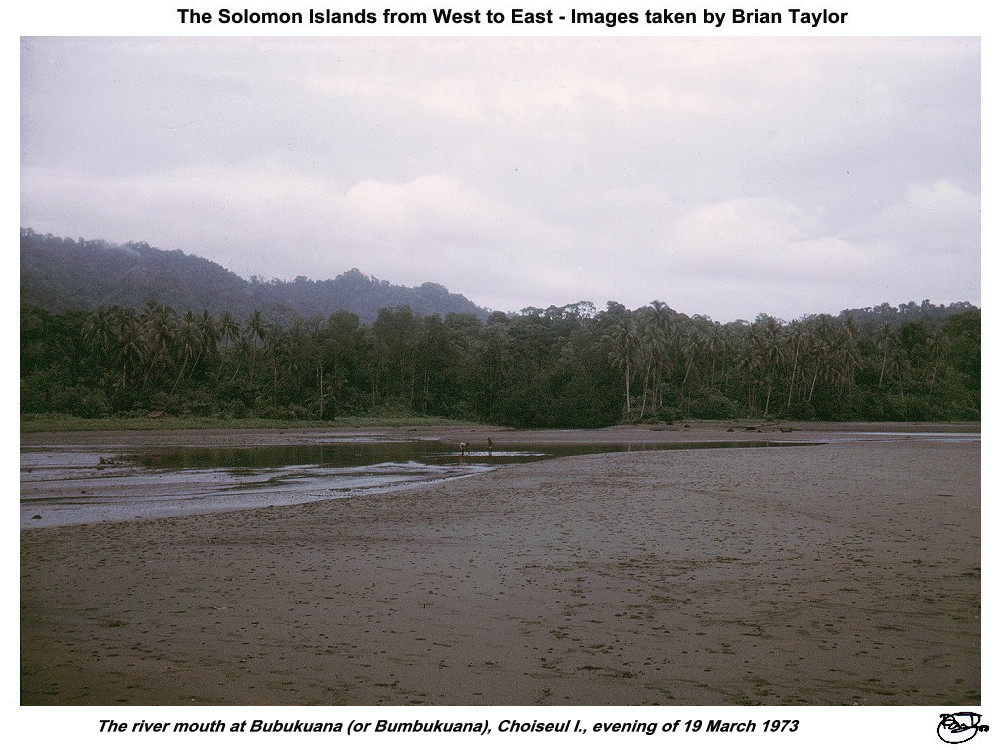 Title: The river mouth at Bubukuana (or Bumbukuana), Choiseul I., evening of 19 March 1973 |
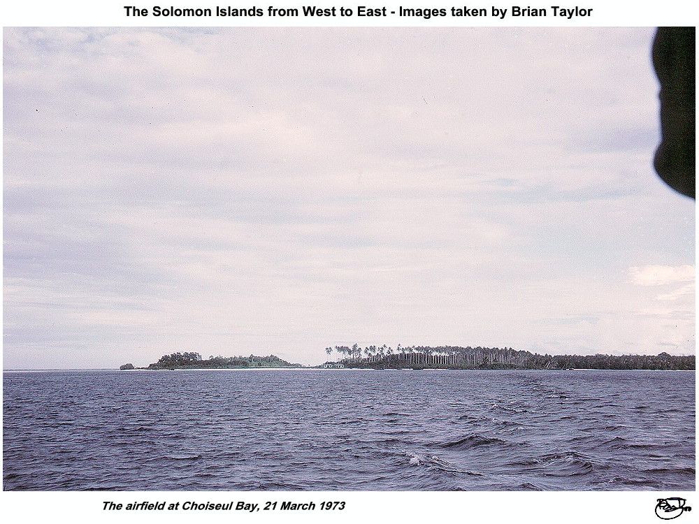 Title: The airfield at Choiseul Bay, 21 March 1973. |
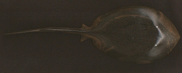
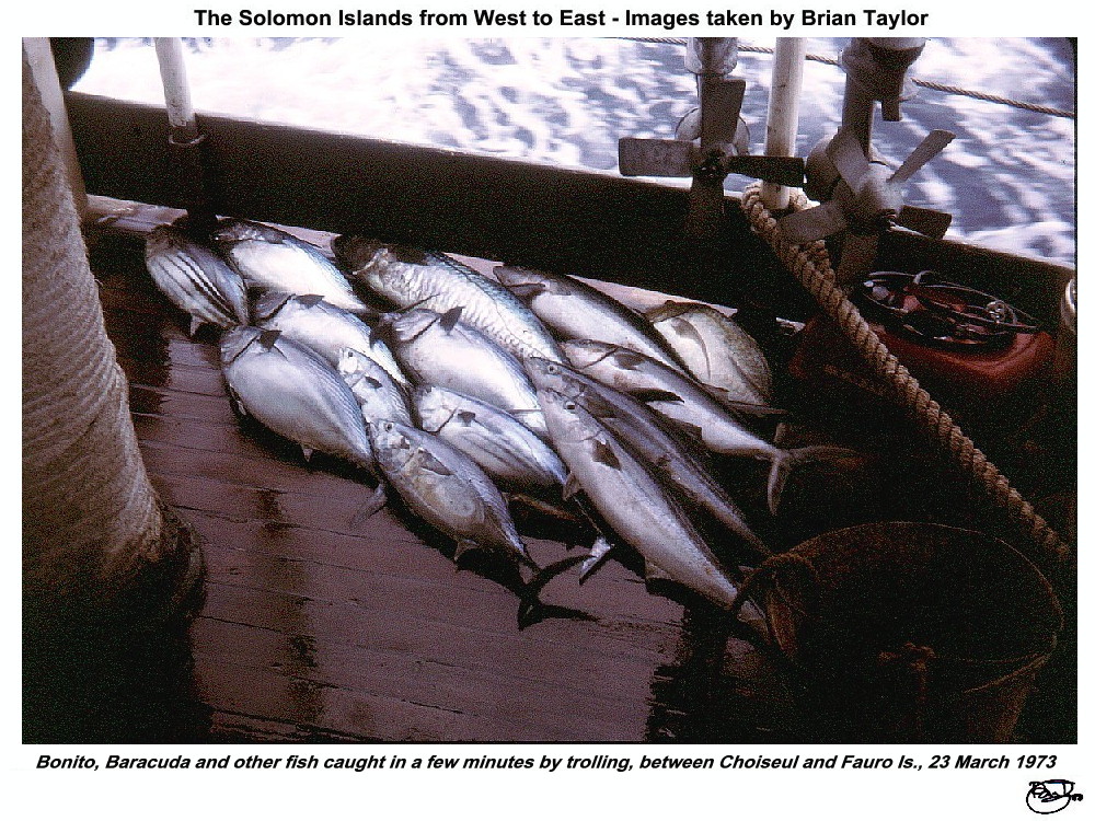 Title: Bonito, Barracuda and other fish caught in a few minutes by trolling, between Choiseul and Fauro Is., 23 March 1973 |
Location of photos from on-board ship |
Location of aerial photos |
Location of photos from on land |
| |
|
|
|
| ©2000 - Brian
Taylor CBiol FIBiol FRES 11, Grazingfield, Wilford, Nottingham, NG11 7FN, U.K. Visiting Academic in the Department of Life Science, University of Nottingham |
This page was created with ArcSoft Media Browser 2000.
Page 2 of 12
![]()