
Malaitan lagoon people were well known for their affinity with sharks
The Solomon Islands from West to East - Malaita Island
Images taken byBrian Taylor
Lying more along a north-south axis than the other major islands, Malaita and its sister island Maramasike (Small Malaita) total about 195 km in length with a maximum width of 40 km. The total land area is about 4500 km² and there is a central longitudinal mountain range rising to 1432 m. Flat land is restricted to a narrow coastal strip but there are extensive lagoons fringing the northeast coast and parts of the west coast. Mangrove swamps are found around the shores of the lagoons and extensively in the narrow Maramasike Passage which separates the 2 main islands. The total population in 1970 was over 51,000 of which some 7000 were living in high inland areas of north and central Malaita. Auki is the district headquarters and the main Government station. There are small airfields near Auki and at Parasi on Maramasike. Malaita being the most densely populated of the major islands had led to many people becoming migrant labourers. This, even in 1970, was the cause of some ill-feeling among the indigenous people of the host islands. In the late-1990's this led to increasing conflict, especially on Guadalcanal.
![]()
Title: Malaita Island
Auki
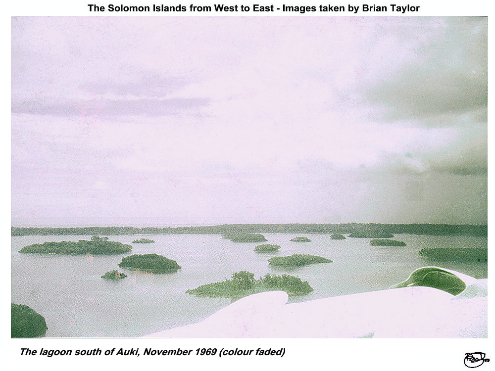 Title: The lagoon south of Auki, November 1969 (colour faded) |
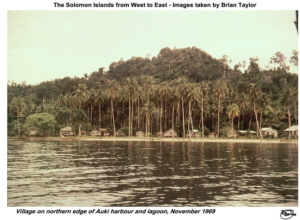 Title: Village on northern edge of Auki harbour and lagoon, November 1969 |
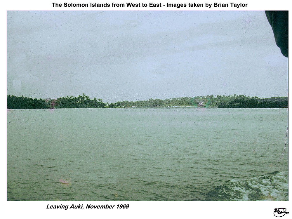 Title: Leaving Auki, November 1969 |
Dala and Fuambu
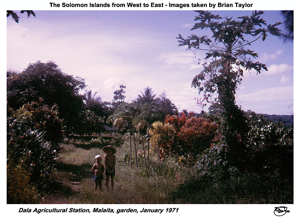 Title: Dala Agricultural Station, Malaita, garden, January 1971 |
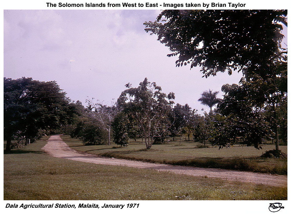
 Title: Dala Agricultural Station, Malaita, January 1971 |
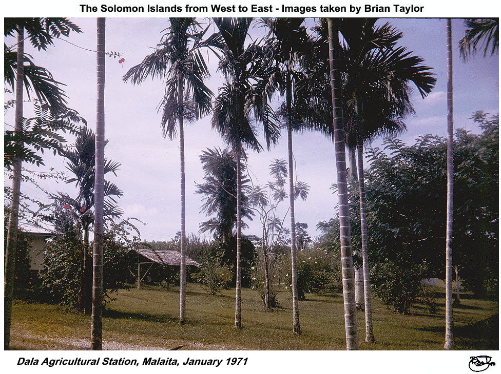
 Title: Dala Agricultural Station, Malaita, January 1971 |
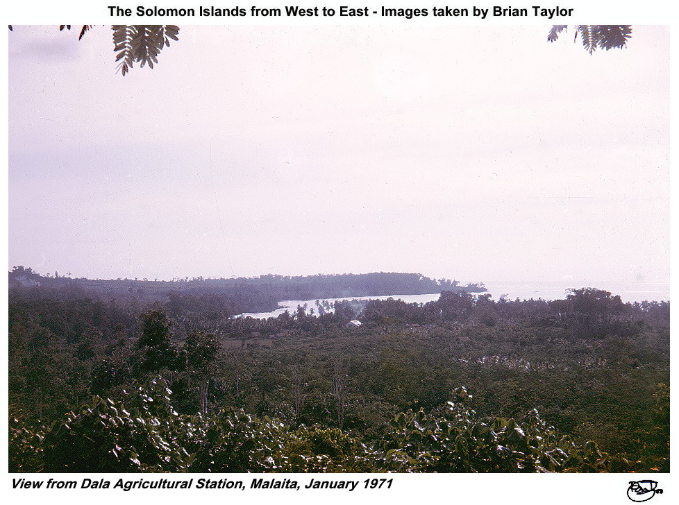 Title: View from Dala Agricultural Station, Malaita, January 1971 |
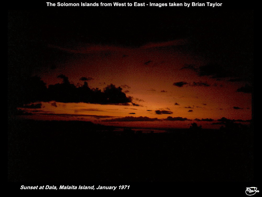 Title: Sunset at Dala, Malaita Island, January 1971 |
|
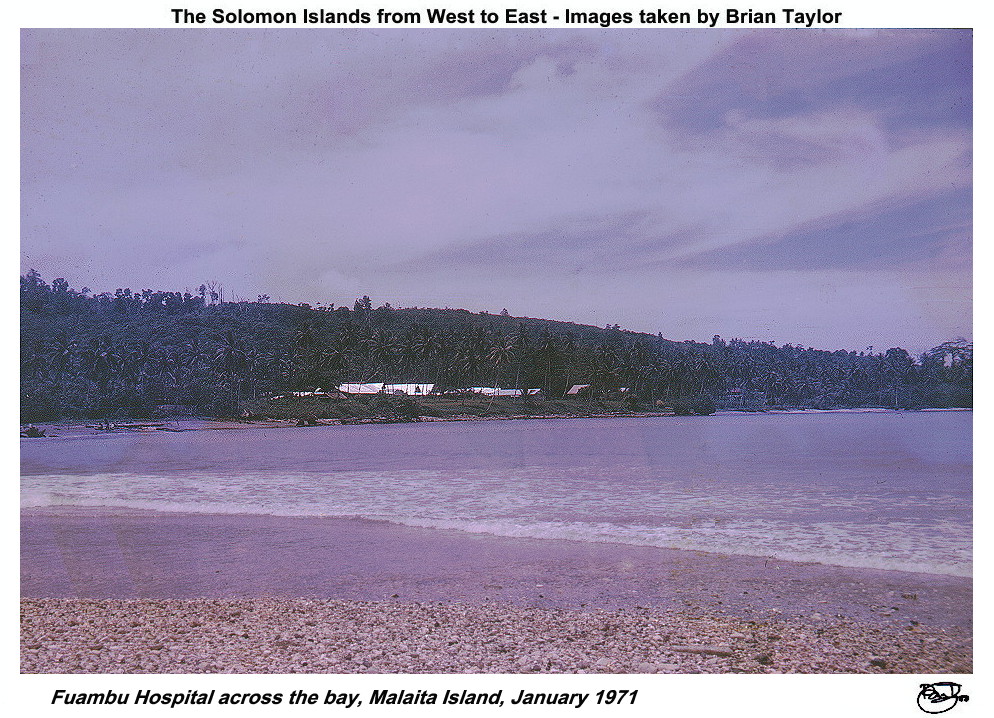 Title: Fuambu Hospital across the bay, Malaita Island, January 1971 |
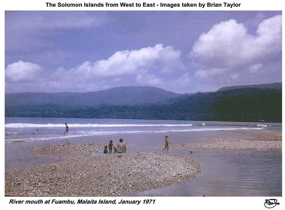 Title: River mouth at Fuambu, Malaita Island, January 1971 |
South Malaita and the Maramasike Passage
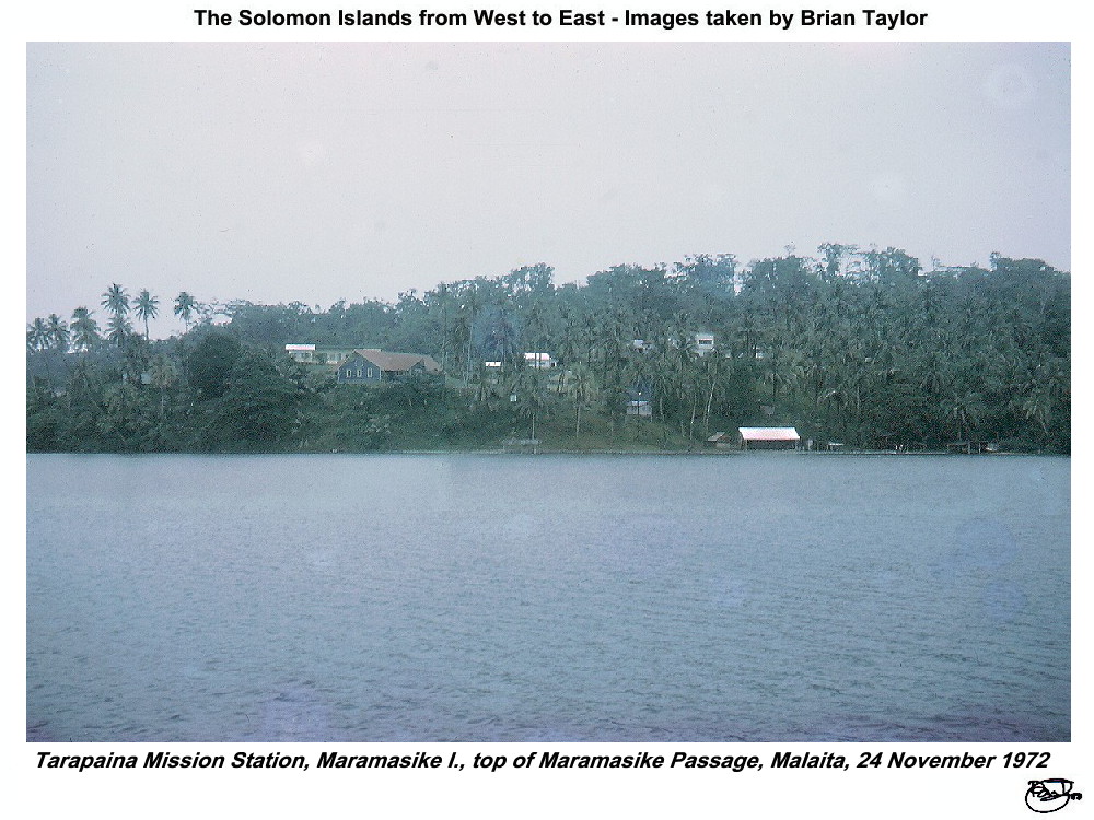 Title: Tarapaina Mission Station, Maramasike I., top of Maramasike Passage, Malaita, 24 November 1972 |
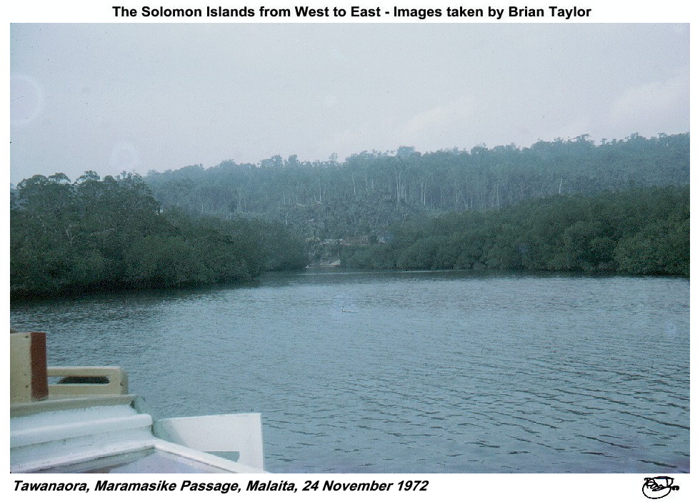 Title: Tawanaora, Maramasike Passage, Malaita, 24 November 1972 |
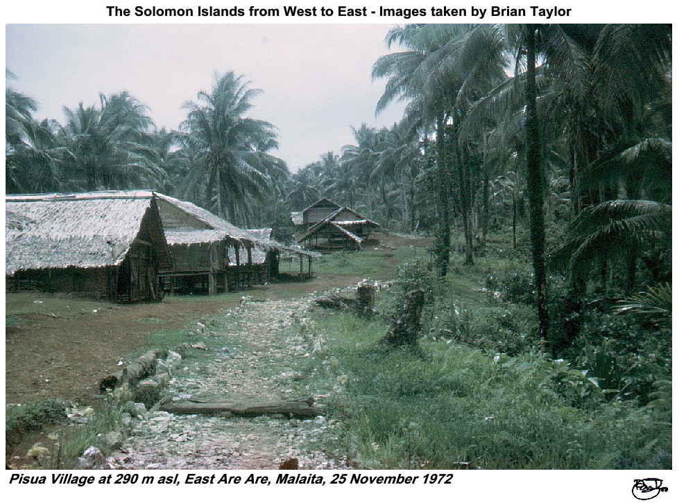 Title: Pisua Village at 290 m asl, East Are Are, Malaita, 25 November 1972 |
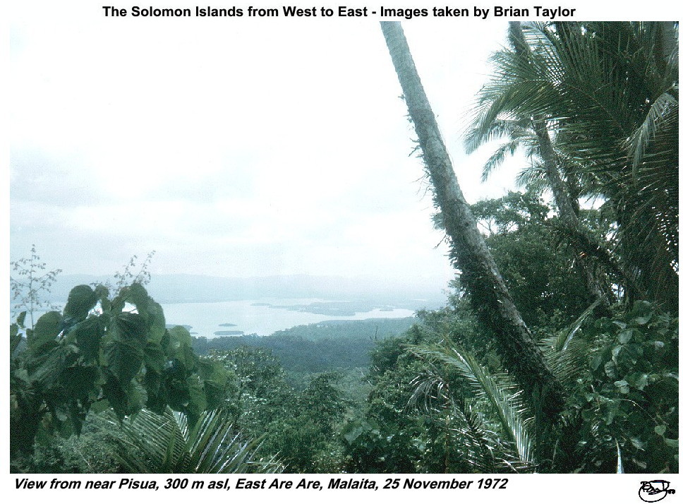 Title: View from near Pisua, 300 m asl, East Are Are, Malaita, 25 November 1972 |
 Title: Ote, East Are Are, Malaita, 250 m asl, 25 November 1972; home of old man, a pre-war crew member on international shipping |
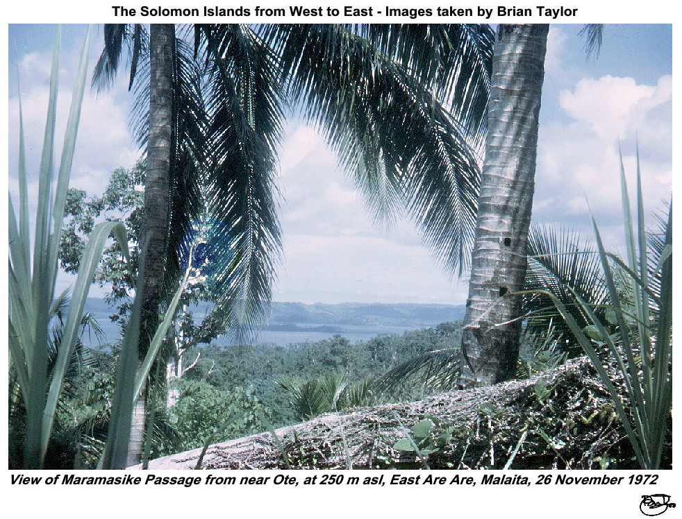 Title: View of Maramasike Passage from near Ote, at 250 m asl, East Are Are, Malaita, 26 November 1972 |
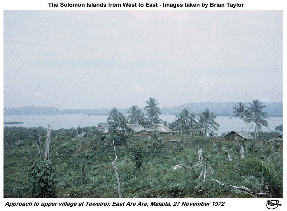 Title: Approach to upper village at Tawairoi, East Are Are, Malaita, 27 November 1972 |
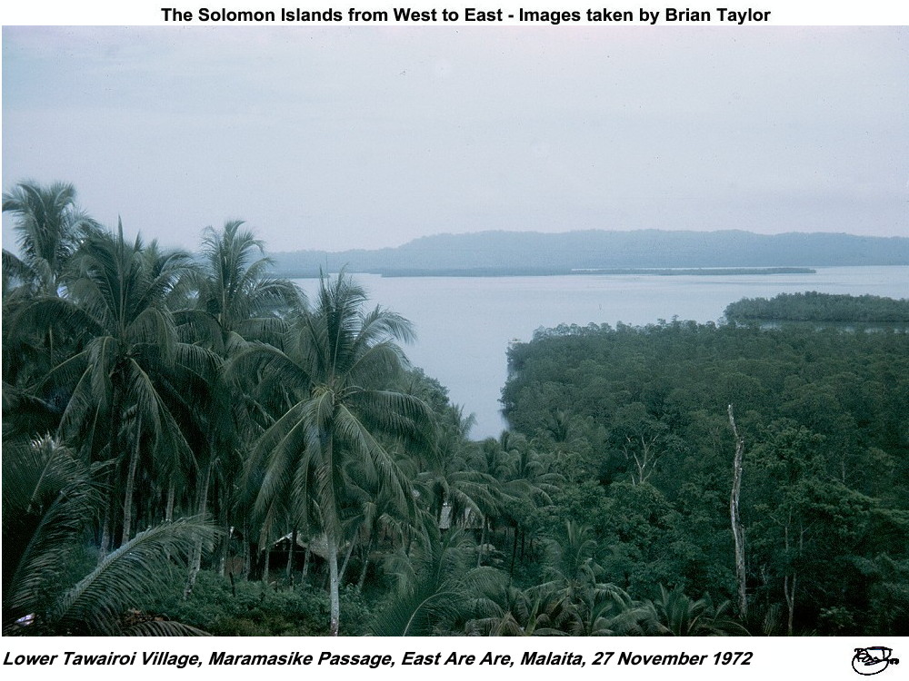 Title: Lower Tawairoi Village, Maramasike Passage, East Are Are, Malaita, 27 November 1972 |
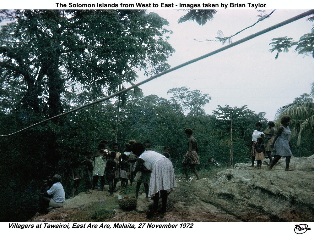 Title: Villagers at Tawairoi, East Are Are, Malaita, 27 November 1972 |
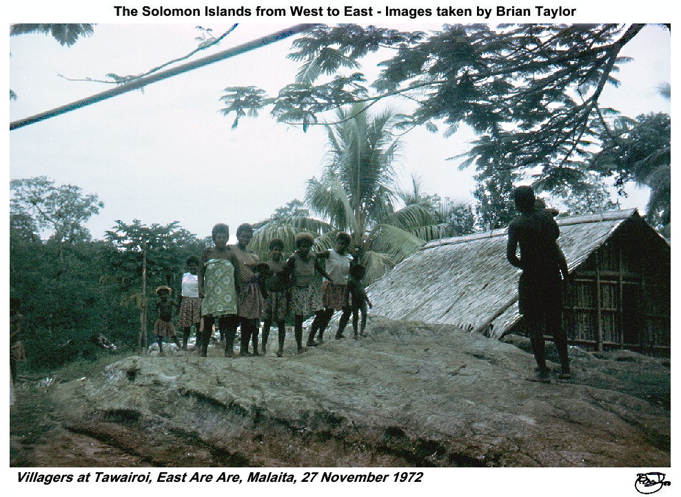 Title: Villagers at Tawairoi, East Are Are, Malaita, 27 November 1972 |
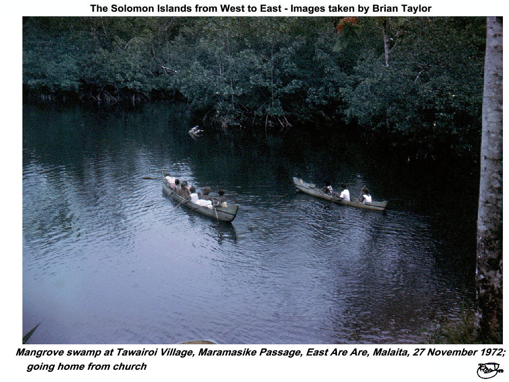 Title: Mangrove swamp at Tawairoi Village, Maramasike Passage, East Are Are, Malaita, 27 November 1972; going home from church |
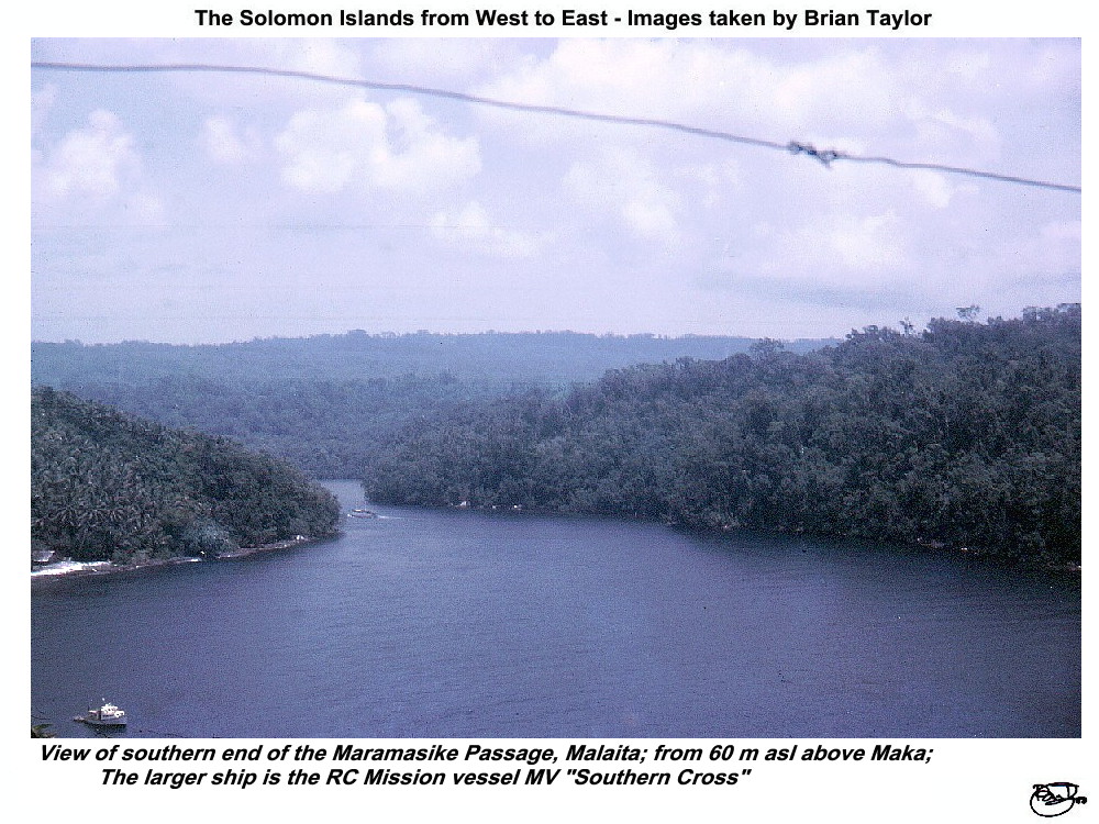 Title: View of southern end of the Maramasike Passage, Malaita; from 60 m asl above Maka; the larger ship is the RC Mission vessel MV "Southern Cross" |
| |
|
|
|
| ©2000 - Brian
Taylor CBiol FIBiol FRES 11, Grazingfield, Wilford, Nottingham, NG11 7FN, U.K. Visiting Academic in the Department of Life Science, University of Nottingham |
Page 10 of 12