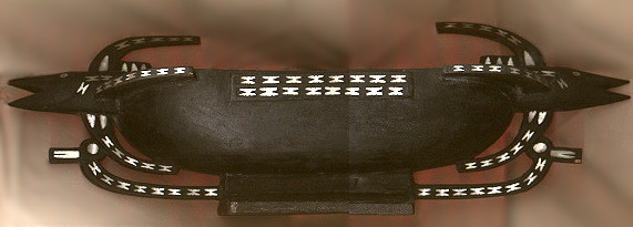
Model of a traditional Makira foodbowl
The easternmost of the major islands, San Cristobal is over 125 km long and up to 40 km wide. The mountain ranges form north-south ridges across the island and not along the island. The highest point is 1250 m. The people of San Cristobal mostly live near the coast although there are small populations in the central Bauro and Wainoni areas. The district administrative headquarters is at Kira Kira and there is a small airfield at nearby Ngorangora. Scattered coconut plantations occur on the north coast.
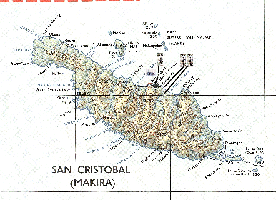 Title: San Cristobal |
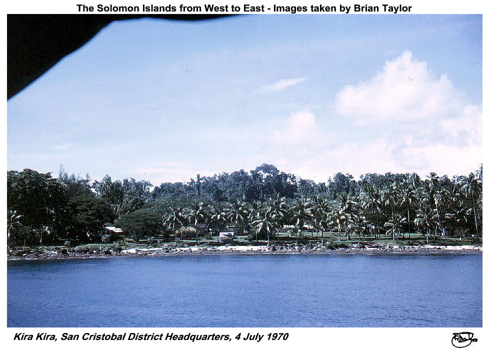 Title: Kira Kira, San Cristobal District Headquarters, 4 July 1970 |
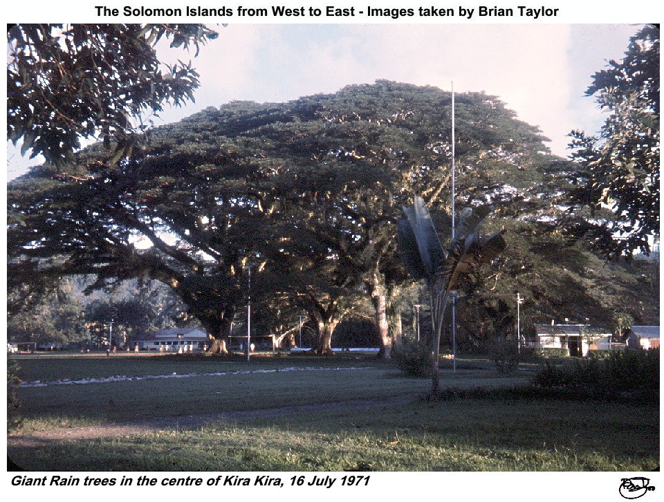 Title: Giant Rain trees in the centre of Kira Kira, 16 July 1971 |
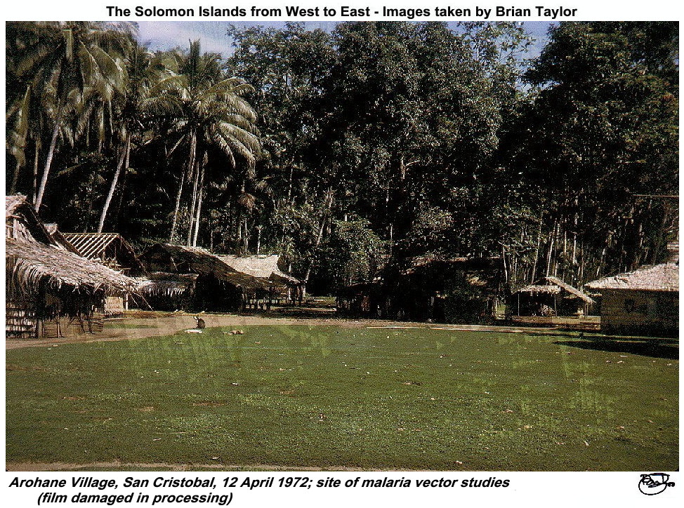 Title: Arohane Village, San Cristobal, 12 April 1972; site of malaria vector studies (film damaged in processing). |
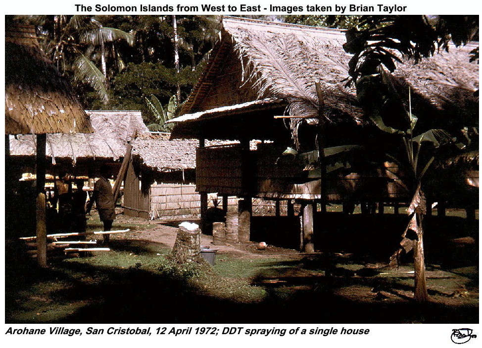 Title: Arohane Village, San Cristobal, 12 April 1972; DDT spraying of a single house |
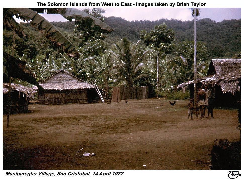 Title: Maniparegho Village, San Cristobal, 14 April 1972 |
Ugi (Uki Ni Masi) - A small island, 10 km long and 5 km wide with a highest point of 204 m. There are fairly extensive coconut plantations.
Three Sisters Group - A chain of 3 small coral islands with extensive coconut plantations on Malaulo and Malaupaina.
Santa Ana - A small raised coral island about 4 km across. There is a freshwater lake in the centre of the island and the highest point is 158 km. The small number of inhabitants were living in coastal villages in 1970.
Santa Catalina - A small raised coral island with a highest point of 98 m and no greater across than 3 km. There were few inhabitants in 1970.
| |
|
|
|
| ©2000 - Brian
Taylor CBiol FIBiol FRES 11, Grazingfield, Wilford, Nottingham, NG11 7FN, U.K. Visiting Academic in the Department of Life Science, University of Nottingham |
Page 11 of 12