|
|
The Solomon Islands from West to East - The Central SolomonsImages taken byBrian Taylor |
Santa Isabel is a long (some 240 km including the islands of the northwestern tip), narrow (maximum width 25 km) island with a central longitudinal mountain range rising to 1219 m. The total land area is 4015 km². Except for the flat islands of the northwestern tip, with an extensive mangrove lagoon area, which supports the very large village of Kia (pictured), and the relatively flat area of the southeastern end of the north coast (where the remainder of the people, 9000 in 1970, is mainly concentrated), the coastal flat strip is very narrow and the villages are few and widely scattered. Timber operations had been extensive at Allardyce and there were scattered coconut plantations. The Government Station was at Buala on the north coast with a small airstrip offshore on Fera Island. San Jorge Island off the southern tip of Isabel was uninhabited, except for the village of Talise, but had mineral deposits, mainly of nickel ore. I visited Tatamba, the pre-war Government station, in November 1969 (pictured), and visited Kia in early 1971, travelling by sea down the southern coast.
 Title: Santa Isabel |
Title: Picking coconuts for drinking, Tatamba, Santa Isabel, November 1969 |
 Title: Old District Officer's House, Tatamba, Santa Isabel, November 1969. Formerly up on the hill. |
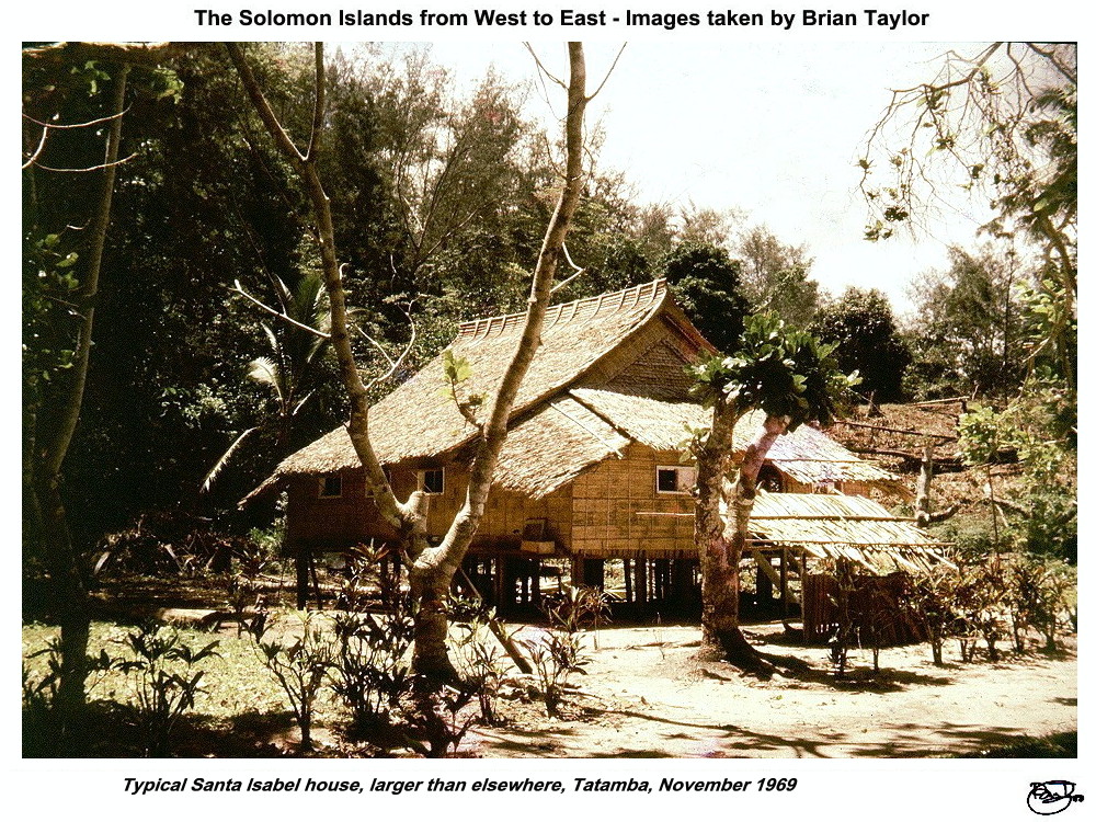 Title: Typical Santa Isabel house, larger than elsewhere, Tatamba, November 1969 |
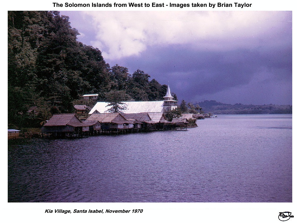 Title: Kia Village, Santa Isabel, November 1970 |
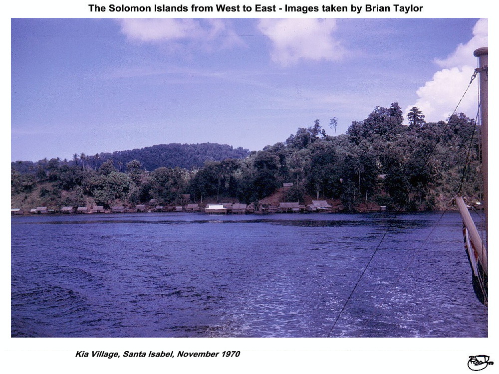 Title: Kia Village, Santa Isabel, November 1970 |
Mborokua is a very small and isolated extinct volcano, with a height of 360 m at the crater rim. When the ship I was on called there in November 1970, there were remains of a hut and a few possessions once belonging to a hermit.
The Russell Islands were the HQ and centre of operations of the Levers' Pacific Plantations in 1970. There are two major islands, Pavuvu and Banika, rising to 543 m and 206 m respectively, separated by a narrow channel and numerous small fringing coral islands. The total land area is 130 km². There were extensive coconut plantations with which most of the then 3000 or so people were associated. In uncleared coastal areas mangrove swamps were dominant. There was an airfield at Yandina, which also was a port of call for overseas vessels.
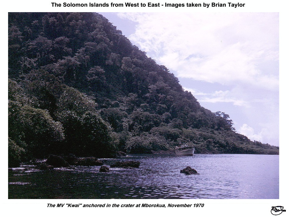 Title: The MV "Kwai" anchored in the crater at Mborokua, November 1970 |
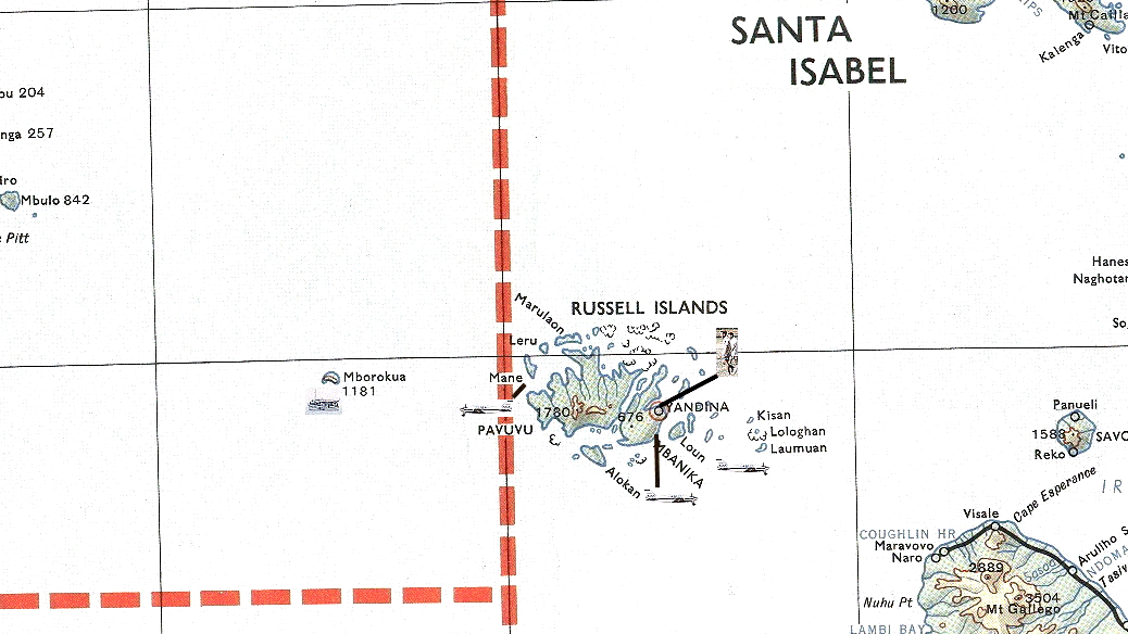 Title: Mborokua and The Russell Islands |
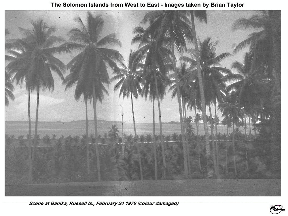 Title: Scene at Banika, Russell Is., February 24 1970 |
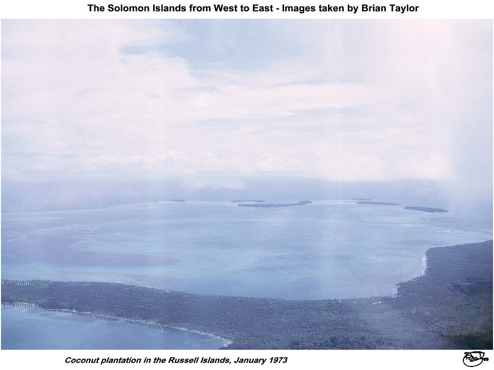 Title: Coconut plantation in the Russell Islands |
 Title: Russell Is., Yandina airfield and Banika, HQ of Levers' Pacific Plantations, surrounded by coconut plantations; 24 March 1973 |
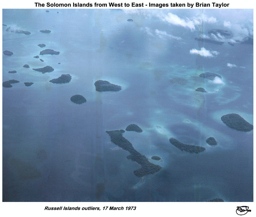 Title: Russell Islands outliers, 17 March 1973 |
Location of photos from on-board ship |
Location of aerial photos |
Location of photos from on land |
| |
|
|
|
| ©2000 - Brian
Taylor CBiol FIBiol FRES 11, Grazingfield, Wilford, Nottingham, NG11 7FN, U.K. Visiting Academic in the Department of Life Science, University of Nottingham |
This page was created with ArcSoft Media Browser 2000.
Page 5 of 12