The Solomon Islands from West to East - Honiara scenes
Images taken byBrian Taylor
These I expect have dated more than most of the other photographs. This is because Honiara in the early 1970's had only some 11,000 residents. Now, in 2000, the population is around 40,000.
Title: The wider environs of Honiara |
Title: Honiara Town map, locations numbered in red are those below |
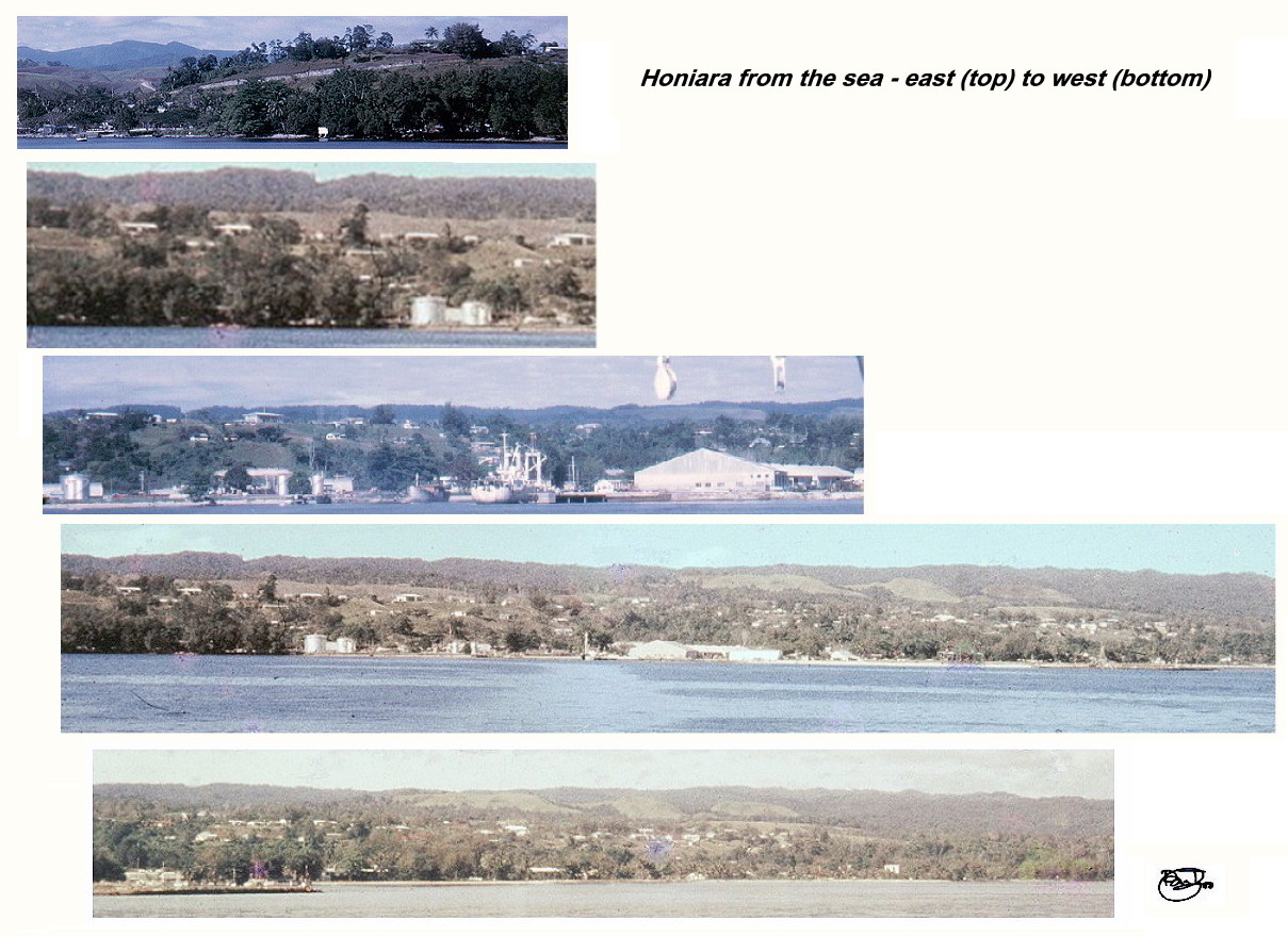
Honiara from the sea - from east to west
Views on and from the raised coral foothills or ridges, west to east
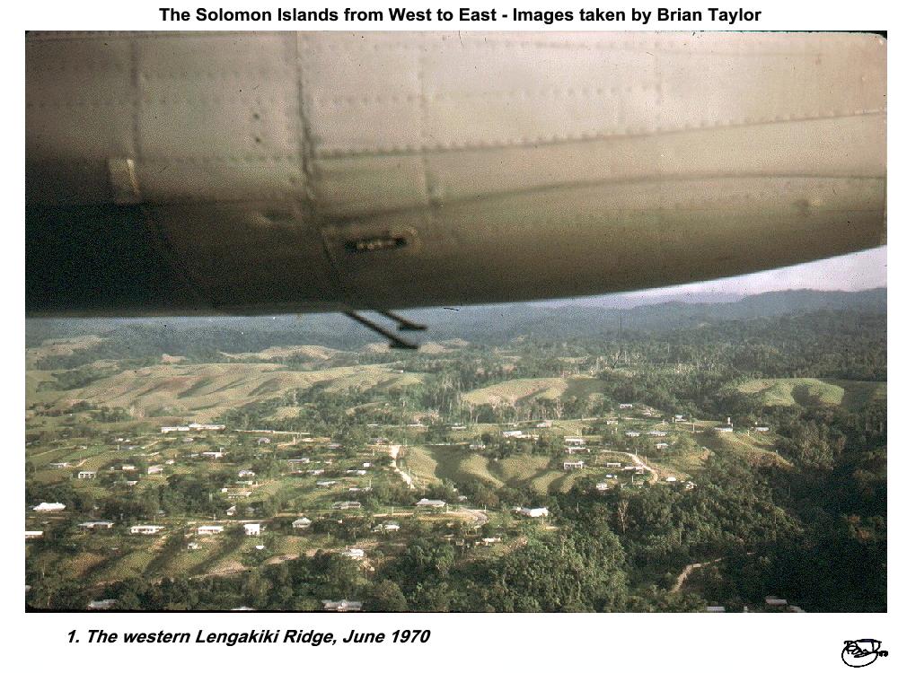 Title: 1. The western Lengakiki Ridge, June 1970 |
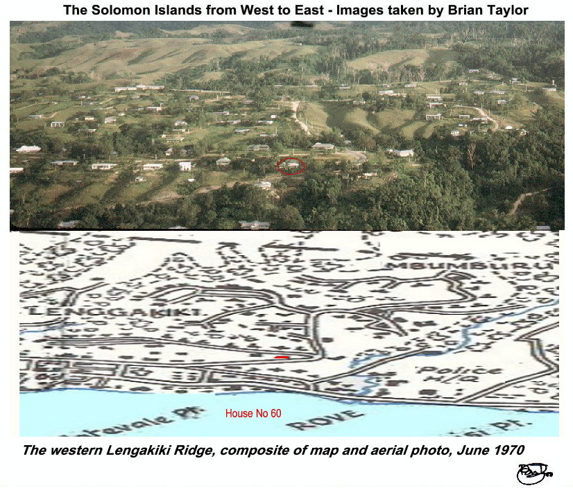 Title: The western Lengakiki Ridge, composite of map and aerial photo, June 1970 |
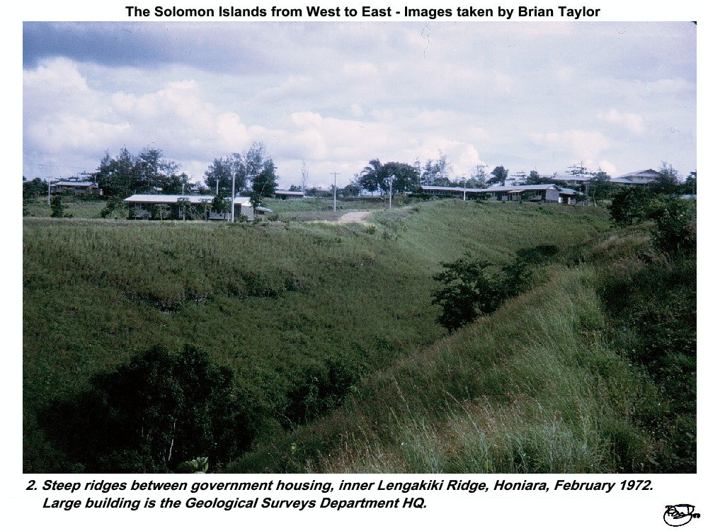 Title: 2. Steep ridges between government housing, inner Lengakiki Ridge, Honiara, February 1972. Large building is the Geological Surveys Department HQ. |
Title: 3. View west from 60 Lengakiki Ridge |
Title: 4. House 60 at Lengakiki Ridge, 50 m asl. |
|
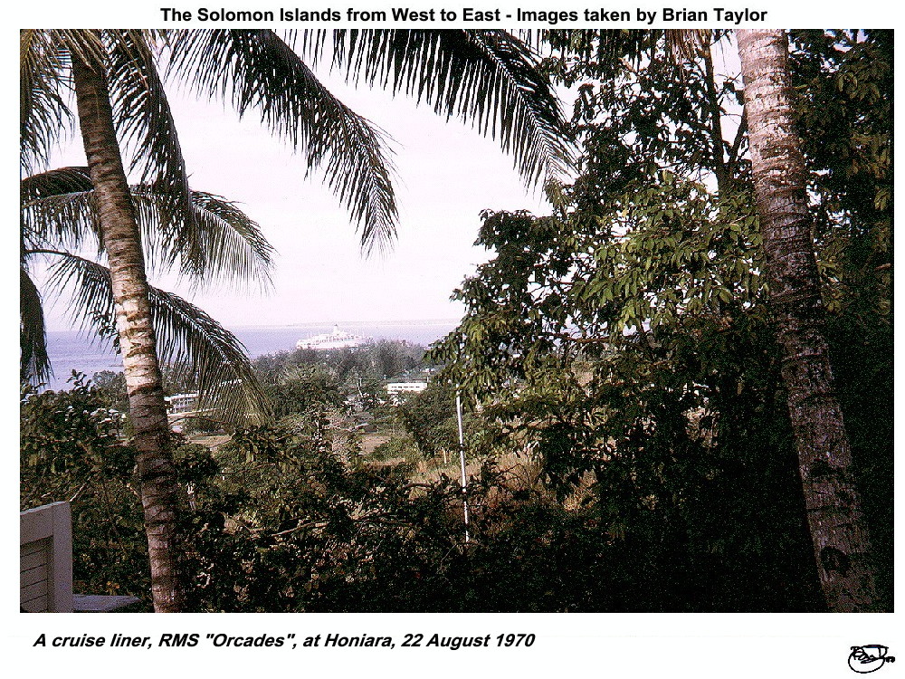 Title: 5. A cruise liner, RMS "Orcades", at Honiara, 22/8/70 |
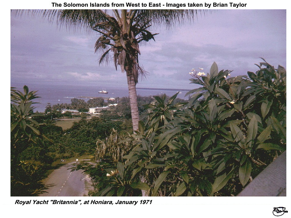 Title: 6. Royal Yacht "Britannia", at Honiara, January 1971 |
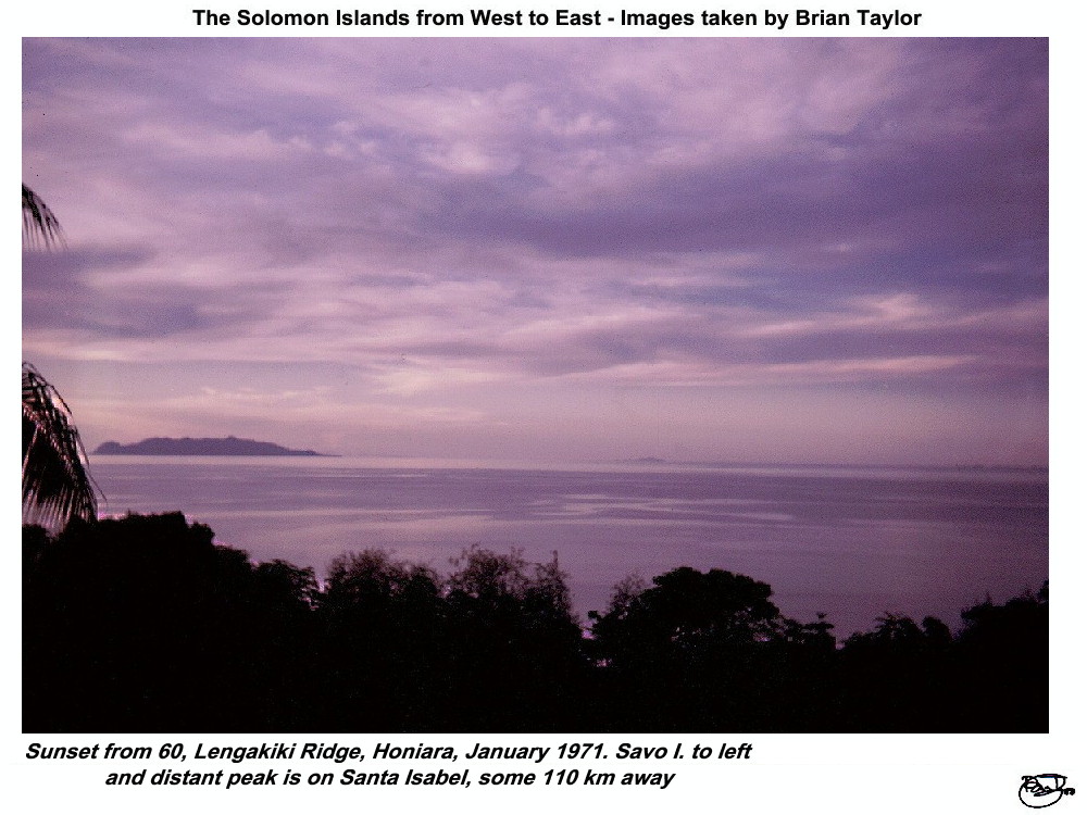 Title: 7. Sunset from 60, Lengakiki Ridge, Honiara, January 1971. Savo I. to left and distant peak is on Santa Isabel, some 110 km away |
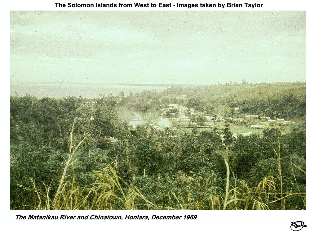 Title: 8. The Matanikau River and Chinatown, Honiara, December 1969. |
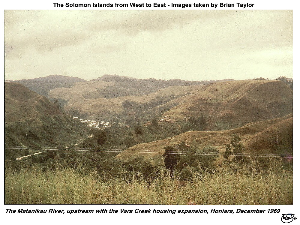 Title: 9. The Matanikau River, upstream with the Vara Creek housing expansion, Honiara, December 1969. |
|
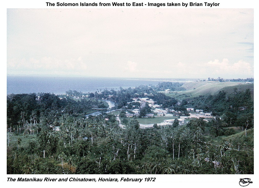 Title: 10. The Matanikau River and Chinatown, Honiara, February 1972. |
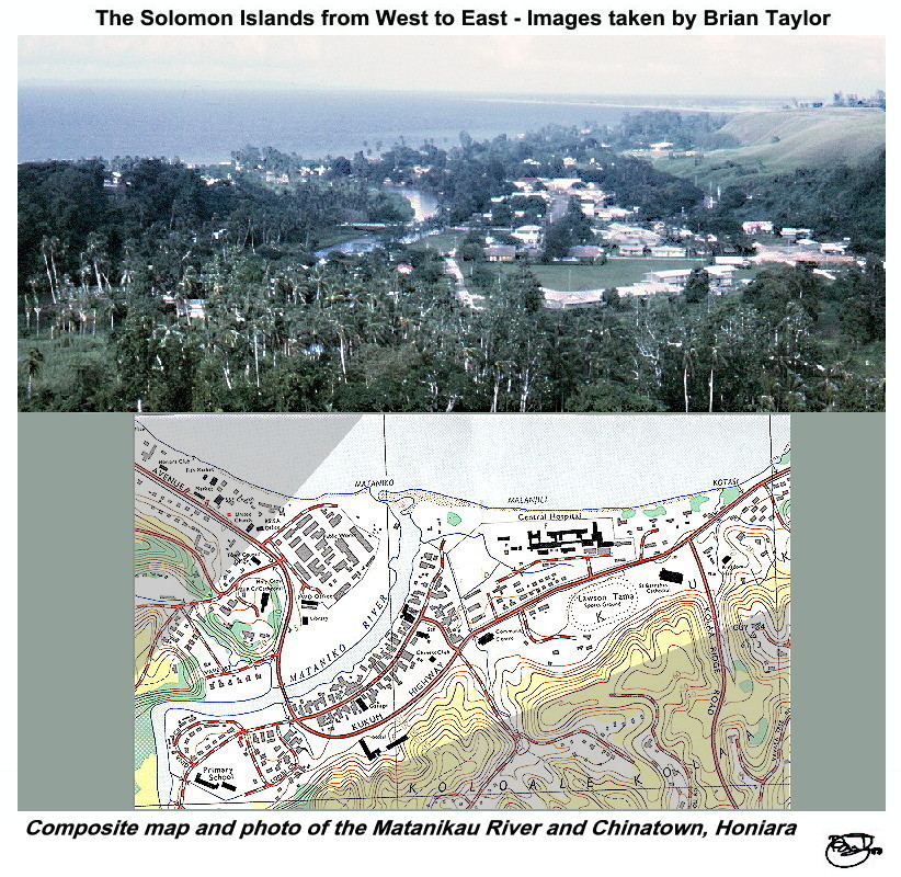 Title: Composite map and photo of the Matanikau River and Chinatown, Honiara |
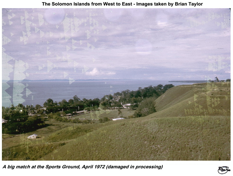 Title: 11. A big match at the Sports Ground, April 1972 (damaged in processing) |
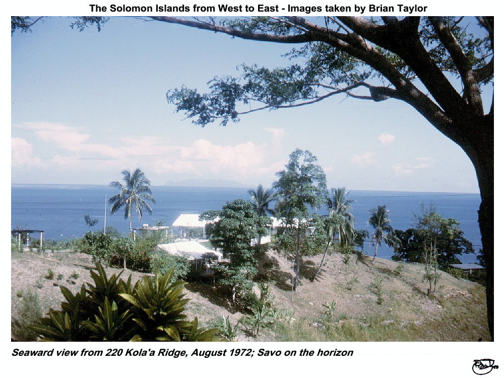 Title: 12. Seaward view from 220 Kola'a Ridge, August 1972; Savo on the horizon |
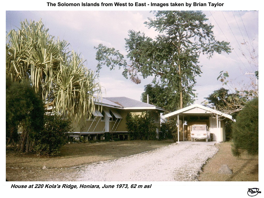 Title: 13. House at 220 Kola'a Ridge, Honiara, June 1973, 62 m asl |
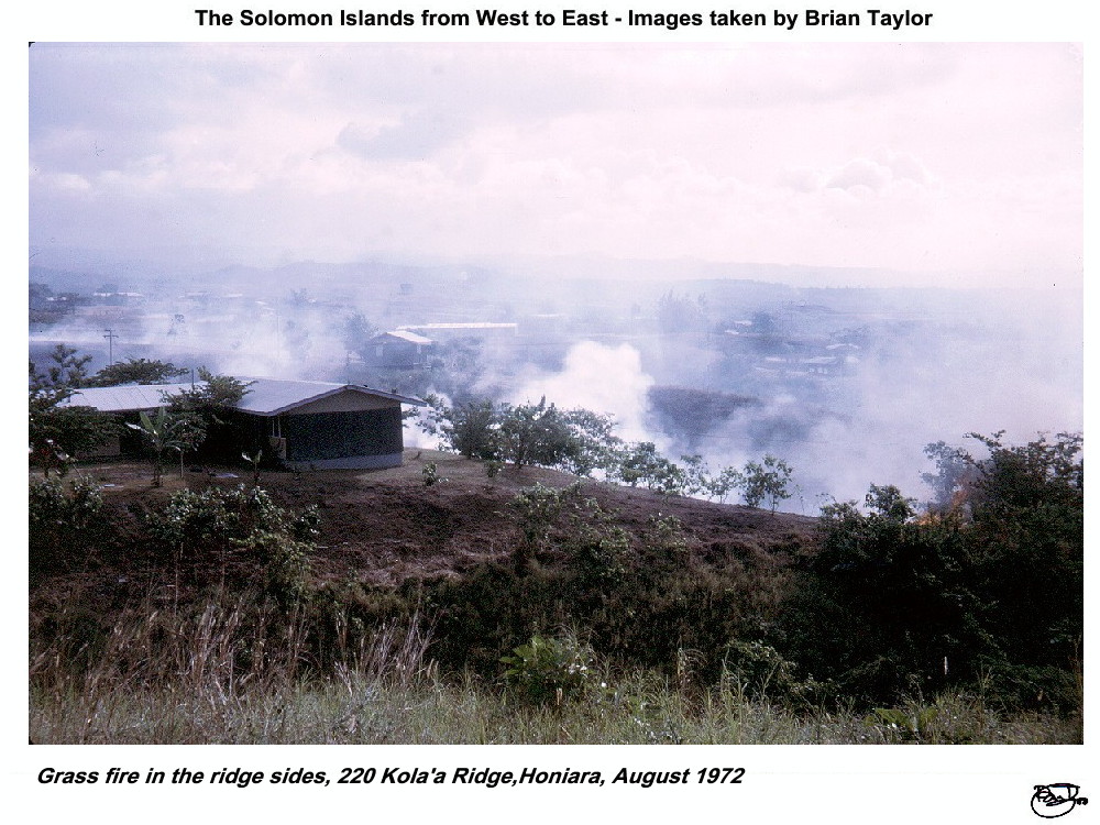 Title: 14. Grass fire in the ridge sides, 220 Kola'a Ridge,Honiara, August 1972 |
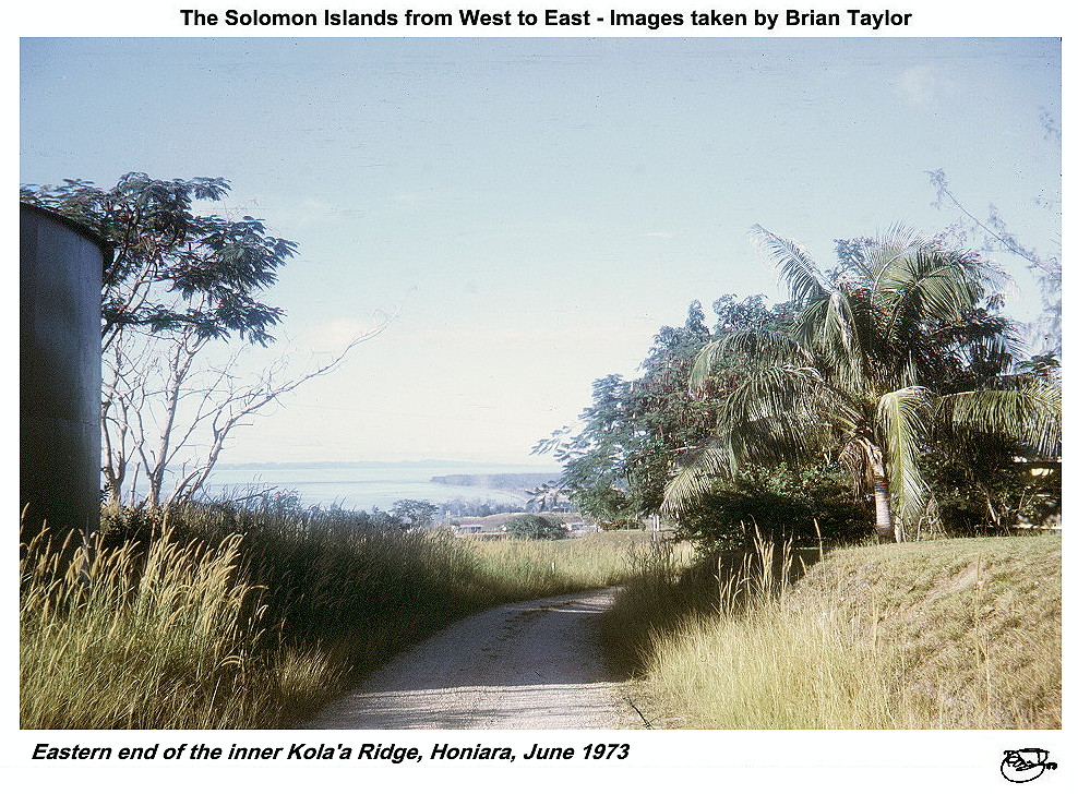 Title: 15. Eastern end of the inner Kola'a Ridge, Honiara, June 1973 |
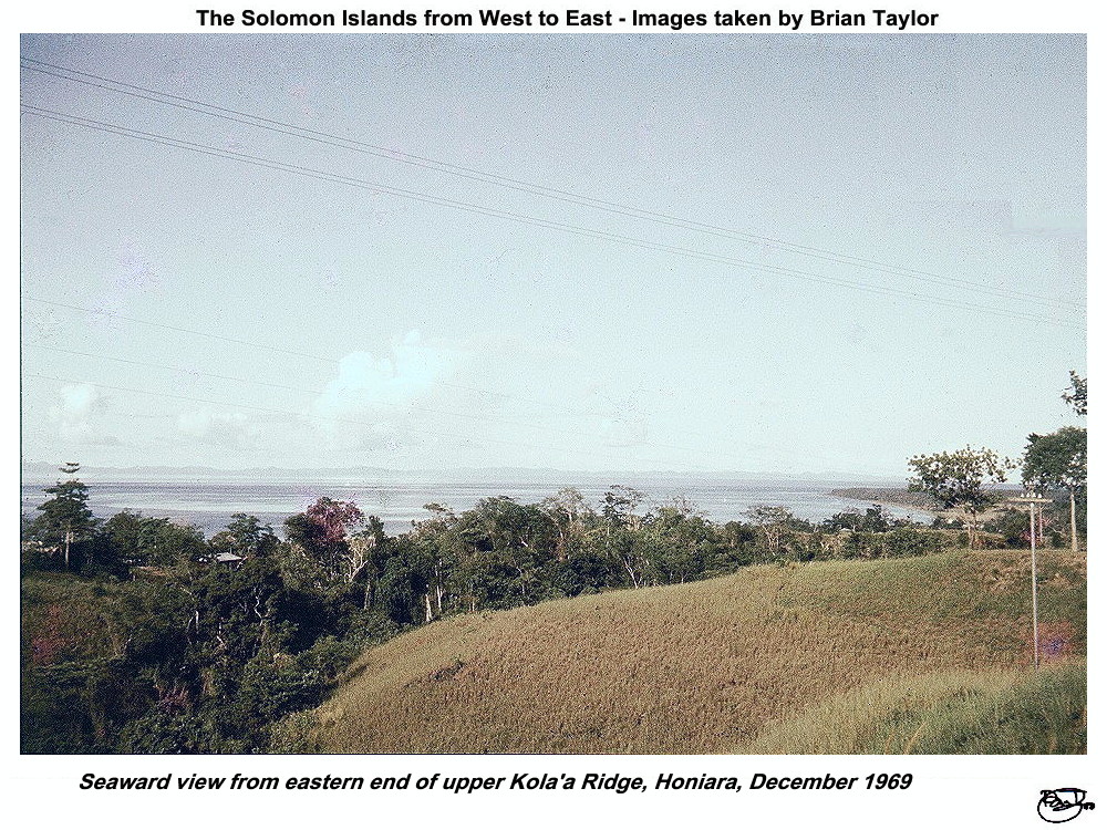 Title: 16. Seaward view from eastern end of upper Kola'a Ridge, Honiara, December 1969 |
 Title: 17. Small village on inland side of Kola'a Ridge,Honiara, December 1969 |
Views on the sea shore flatlands
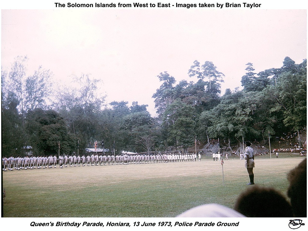 Title: 18. Queen's Birthday Parade, Honiara, 13 June 1973, Police Parade Ground |
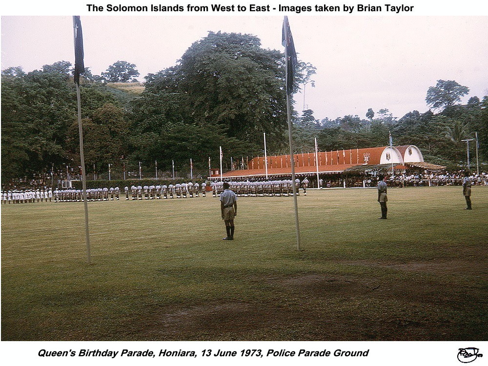 Title: 19. Queen's Birthday Parade, Honiara, 13 June 1973, Police Parade Ground |
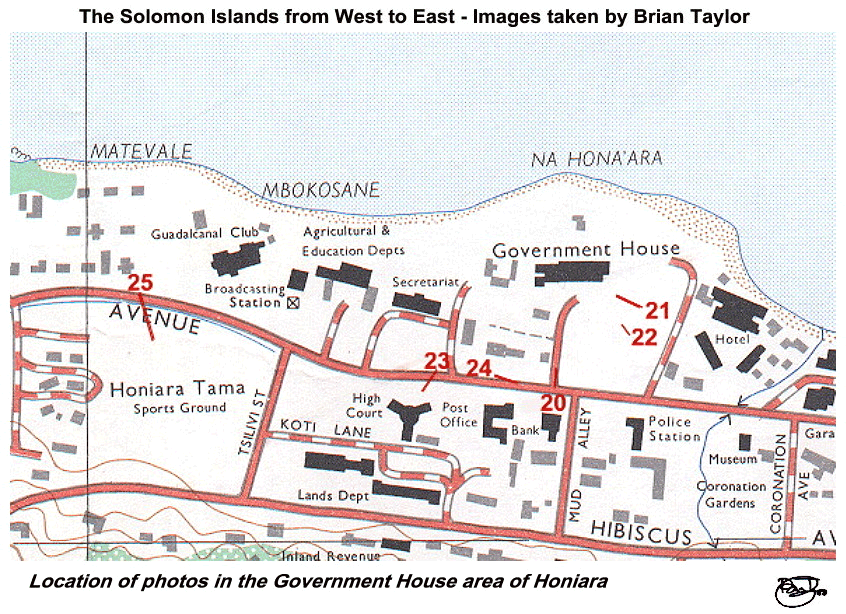 Title: Location of photos in the Government House area of Honiara |
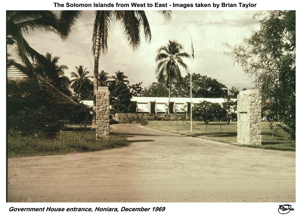 Title: 20. Government House entrance, Honiara, December 1969 |
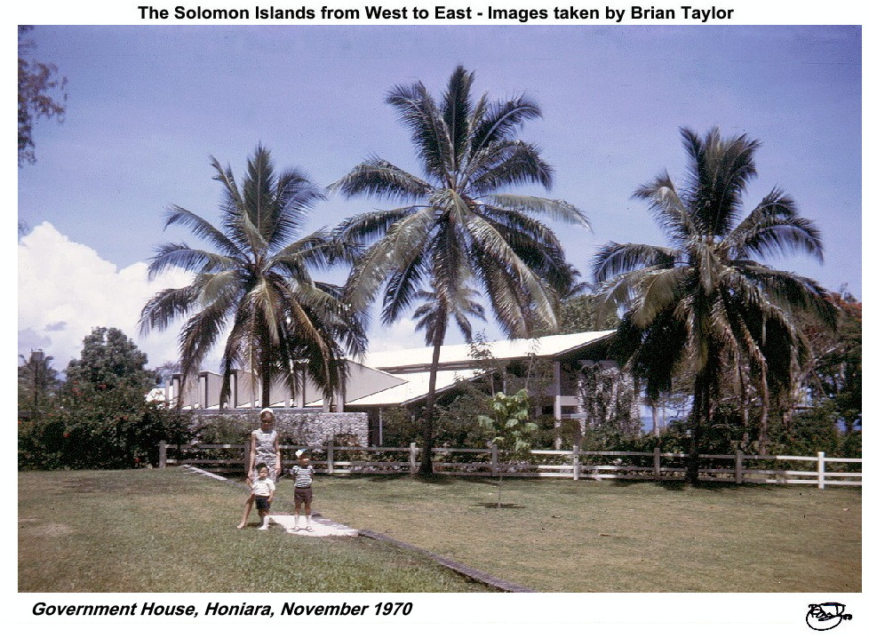 Title: 21. Government House, Honiara, November 1970 |
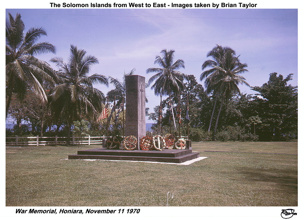 Title: 22. War Memorial, Honiara, November 11 1970 |
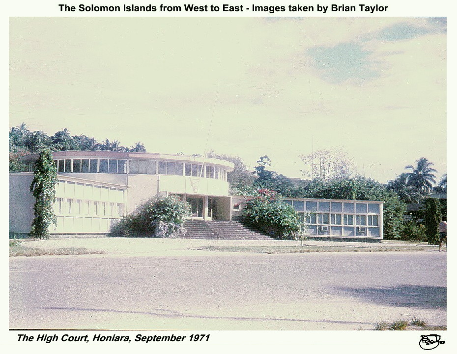 23. Title: The High Court, Honiara, September 1971 |
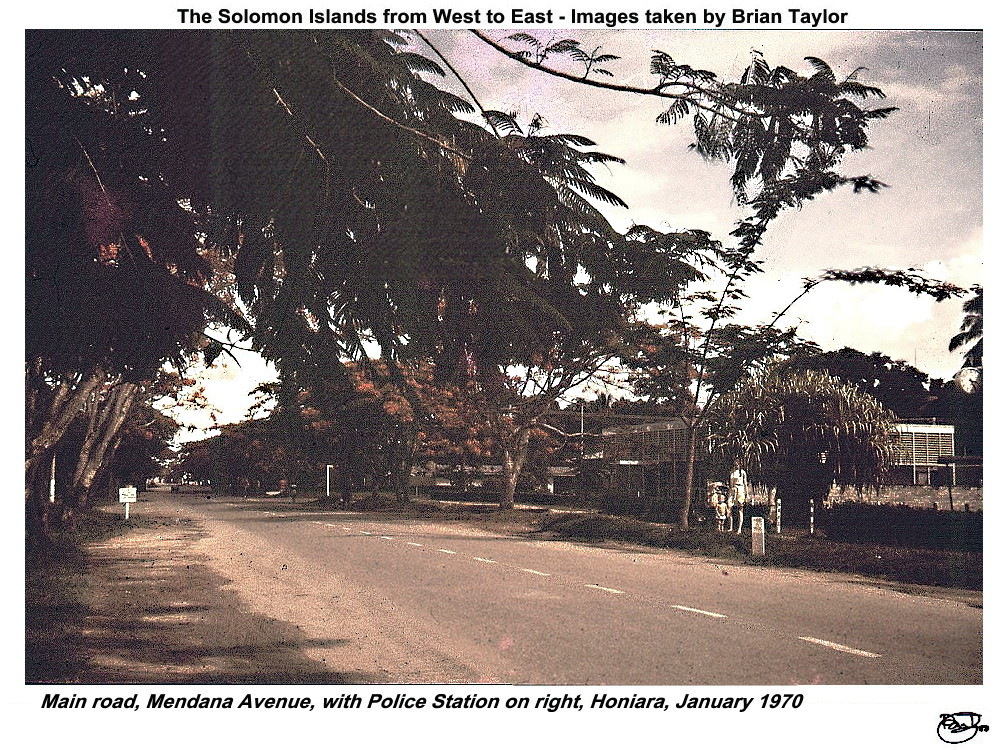 Title: 24. Main road, Mendana Avenue, with Police Station on right, Honiara, January 1970 |
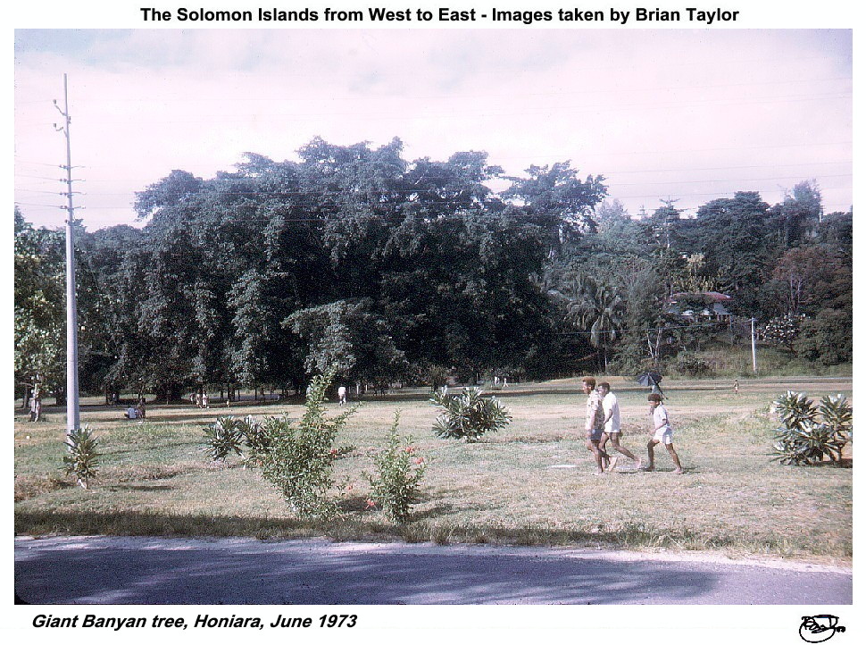 Title: 25. Giant Banyan tree, Honiara, June 1973 |
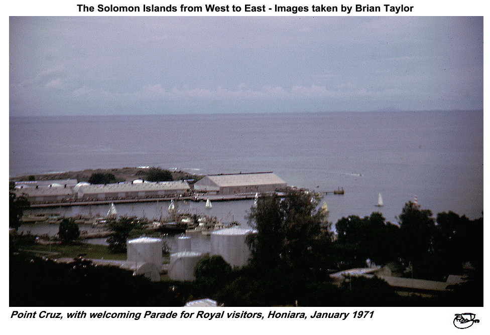 Title: 26. Point Cruz, with welcoming Parade for Royal visitors, Honiara, January 1971 |
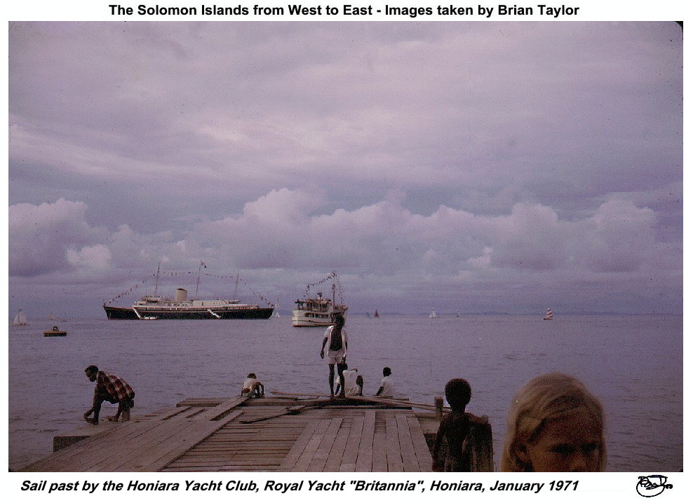 Title: 27. Sail past by the Honiara Yacht Club, Royal Yacht "Britannia", Honiara, January 1971 |
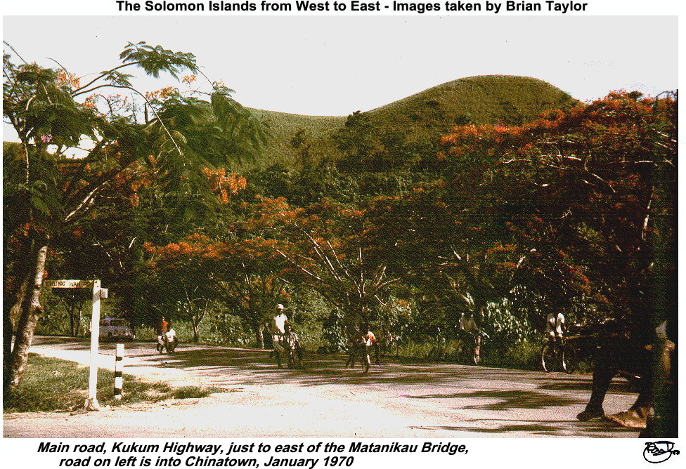 Title: 27a. Main road, Kukum Highway, just to east of the Matanikau Bridge, road on left is into Chinatown, January 1970 |
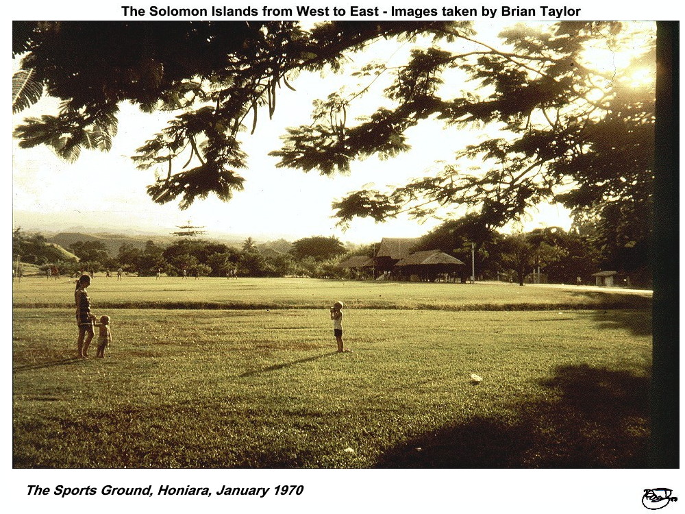 Title: 28. The Sports Ground, Honiara, January 1970 |
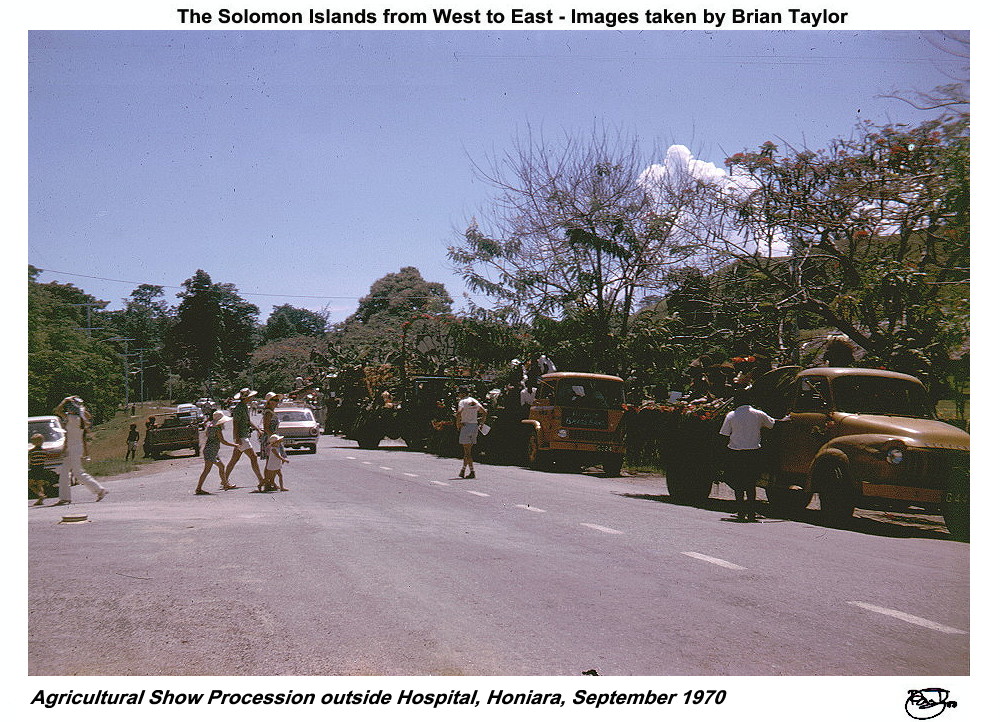 Title: 29. Agricultural Show Procession outside Hospital, Honiara, September 1970 |
|
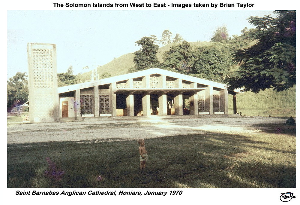 Title: 30. Saint Barnabas Anglican Cathedral, Honiara, January 1970 |
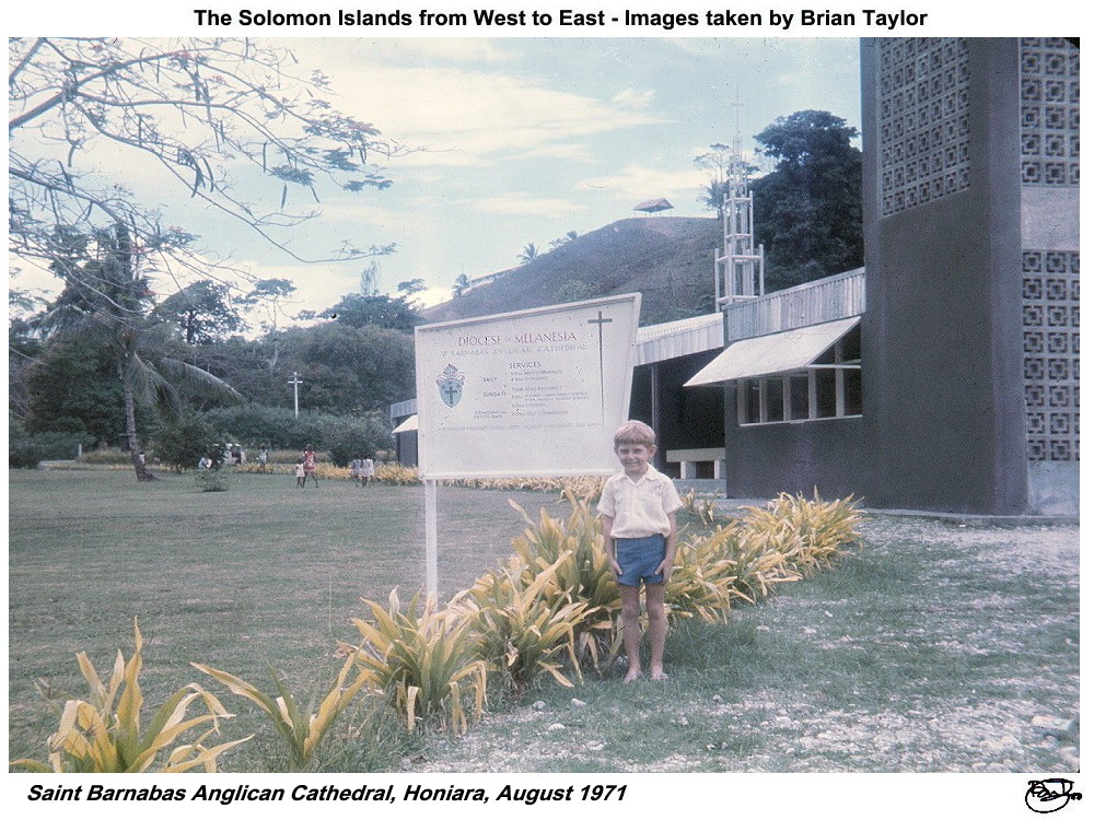 Title: 31. Saint Barnabas Anglican Cathedral, Honiara, August 1971 |
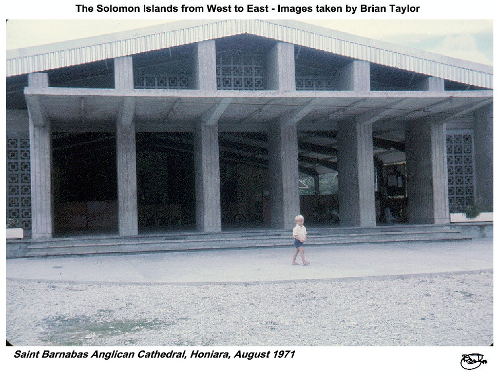 Title: 32. Saint Barnabas Anglican Cathedral, Honiara, August 1971 |
| |
|
|
|
| ©2000 - Brian
Taylor CBiol FIBiol FRES 11, Grazingfield, Wilford, Nottingham, NG11 7FN, U.K. Visiting Academic in the Department of Life Science, University of Nottingham |
This page was created with ArcSoft Media Browser 2000.
Page 7 of 12