 |
The Solomon Islands from West to East - The Florida GroupImages taken byBrian TaylorA moderately sized group of islands with a total land area of 389 km². The 2 major islands, Big Nggela (Nggela Sule) and Small Nggela (Nggela Pile) are separated by the narrow Boli Passage; both rise to almost 400 m. At the western end there are numerous smaller islands, principally Sandfly, Mangalonga and Buena Vista, and extensive coral reefs encircle most of the group. Mangrove swamps are common around much of the coast. The island of Tulagi off the southern coast of Big Nggela was the seat of Government prior to 1945 and is now a center for marine engineering and a fishing industry. The total inhabitants of the group number in 1970 was over 5500 all of whom lived near the coast. |
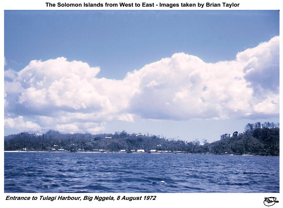 Title: Entrance to Tulagi Harbour, Big Nggela, 8 August 1972 |
 Title: Tulagi (pre-war capital), Big Nggela, 8 August 1972 |
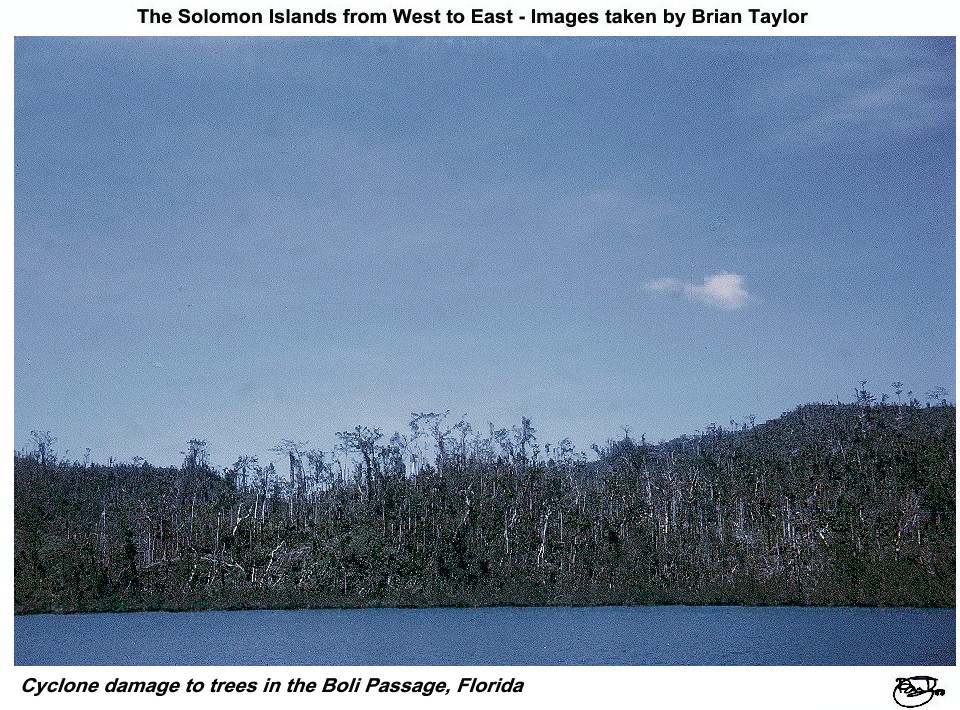 Title: Cyclone damage to trees in the Boli Passage, Florida Group, 9 August 1972 |
 Title: The Boli Passage, Florida Group, 8 August 1972 |
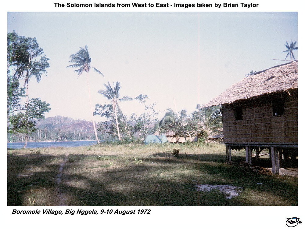 Title: Boromole Village, Big Nggela, 9-10 August 1972 |
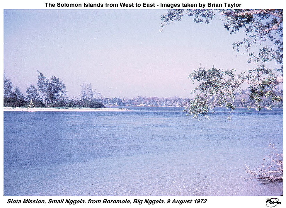 Title: Siota Mission, Small Nggela, from Boromole, Big Nggela, 9 August 1972 |
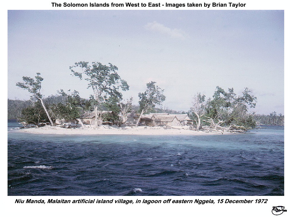 Title: Niu Manda, Malaitan artificial island village, in lagoon off eastern Nggela, 15 December 1972 |
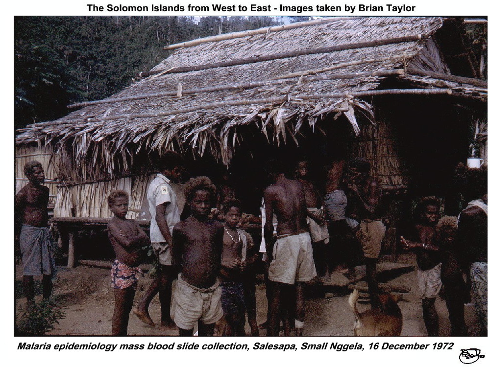 Title: Malaria epidemiology mass blood slide collection, Salesapa, Small Nggela, 16 December 1972 |
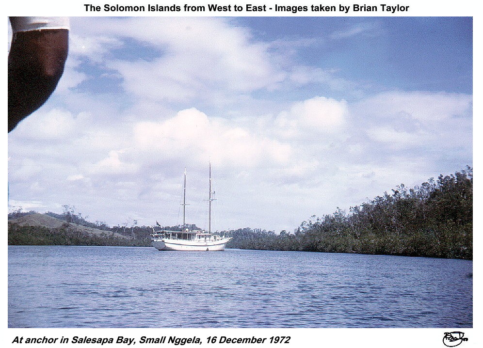 Title: At anchor in Salesapa Bay, Small Nggela, 16 December 1972 |
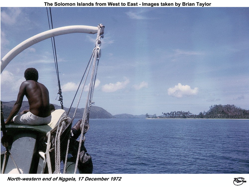 Title: North-western end of Nggela, 17 December 1972 |
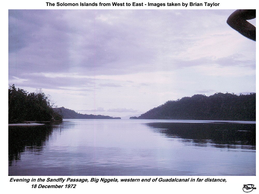 Title: Evening in the Sandfly Passage, Big Nggela, western end of Guadalcanal in far distance, 18 December 1972 |
| |
|
|
|
| ©2000 - Brian
Taylor CBiol FIBiol FRES 11, Grazingfield, Wilford, Nottingham, NG11 7FN, U.K. Visiting Academic in the Department of Life Science, University of Nottingham |
This page was created with ArcSoft Media Browser 2000.
Page 8 of 12