The Solomon Islands from West to East
Guadalcanal (other than Honiara) and Savo
Images taken by
Brian Taylor
Title: Guadalcanal and Savo
|
The Solomon Islands from West to EastGuadalcanal (other than Honiara) and Savo Images taken by Brian Taylor |
Savo is a small dormant volcanic island, rising to 484 m at the crater rim. The diameter of the island is about 6 km and the total land area is 39 km². The principal streams originate from hot springs and up the narrow gullies one can find exposed deposits of yellow sulphur. The population (about 1400 in 1970) was found entirely around the coast. On the north coast there were famous areas where the Solomons Megapode laid their eggs, digging deep holes in the warm sand (pictured). The areas were marked off into "harvesting" plots. The egg in proportion to the size of the hen is reputed to be the largest of any bird .
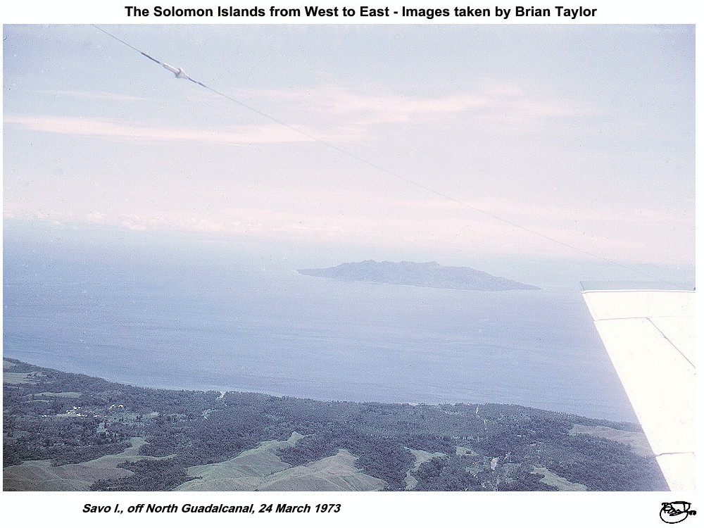 Title: Savo I., off North Guadalcanal, 24 March 1973 |
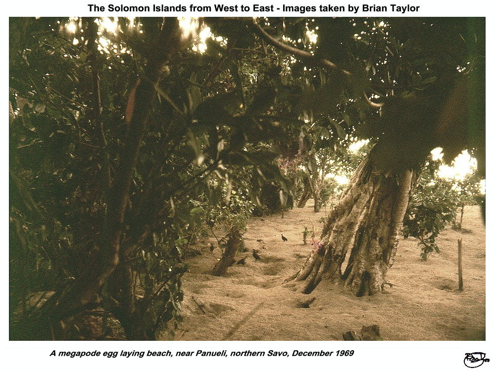 Title: A megapode egg laying beach, near Panueli, northern Savo, December 1969 |
The largest and highest of all the Solomon Islands. It is about 150 km long and up to 45 km wide with a large mountain range along the southern half of the island. The highest point is Mount Popomanaseu at 2330 m (pictured). on the north central area there are extensive plains which in 1970 were coming under extensive cultivation with a large rice farm, an oil palm plantation and cattle ranches. Well established coconut plantations extended more or less continuously from Maravovo to Marau. Honiara on the north coast had become the national capital following the battles of the Second World War. In 1970 many buildings left by the US Army still served as stores and the like. The population of Honiara in 1970 was only around 17000, with another 24000 plus on the rest of the island. Most people lived near the coast though there were quite substantial populations in the central inland mountain valleys. The great battleground of Henderson Field, built by the Japanese and captured by the Americans just as it was completed in 1942, was the International Airport. Small airstrips were at Marau, Avu Avu and Babanakira.
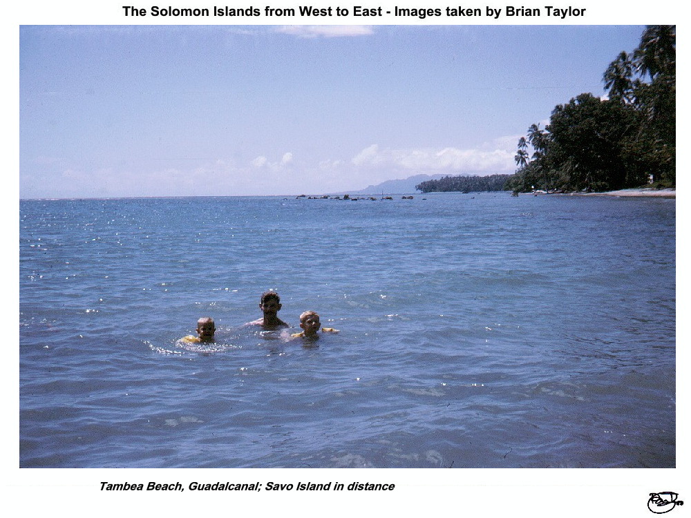 Title: Tambea Beach, Guadalcanal; Savo Island in distance |
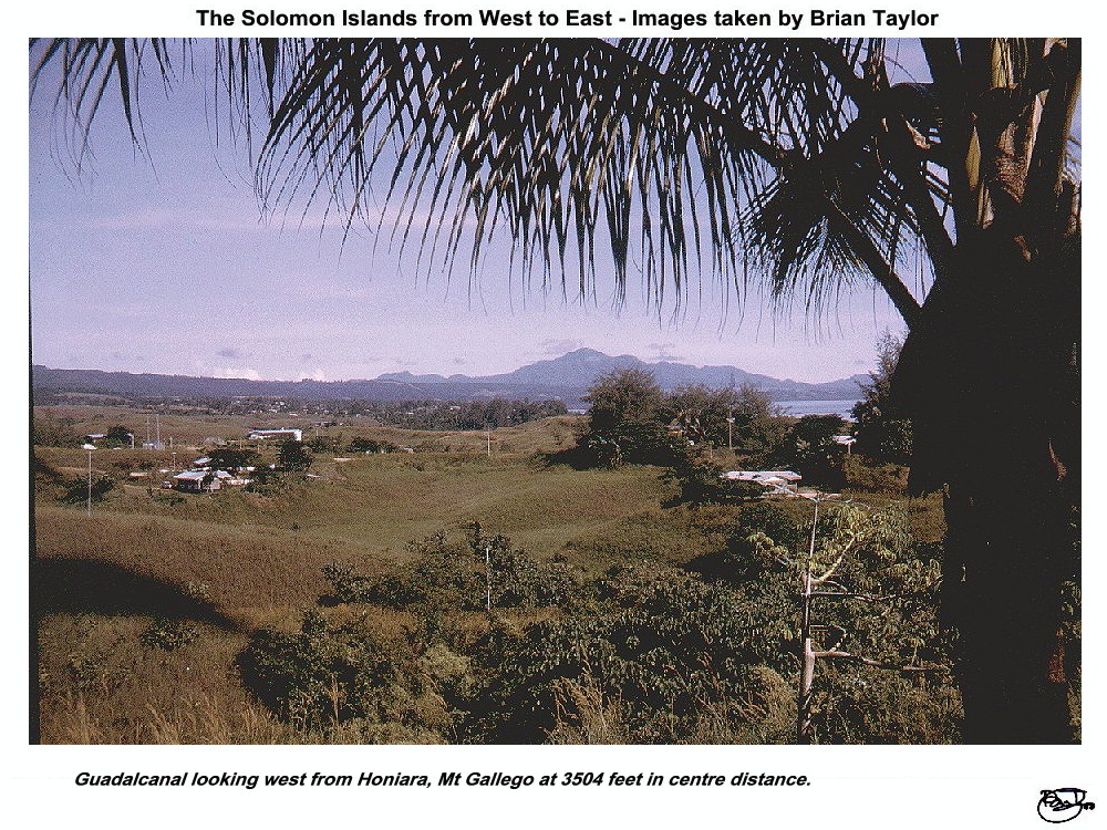 Title: Guadalcanal looking west from Honiara, Mt. Gallego at 3504 feet in centre distance. |
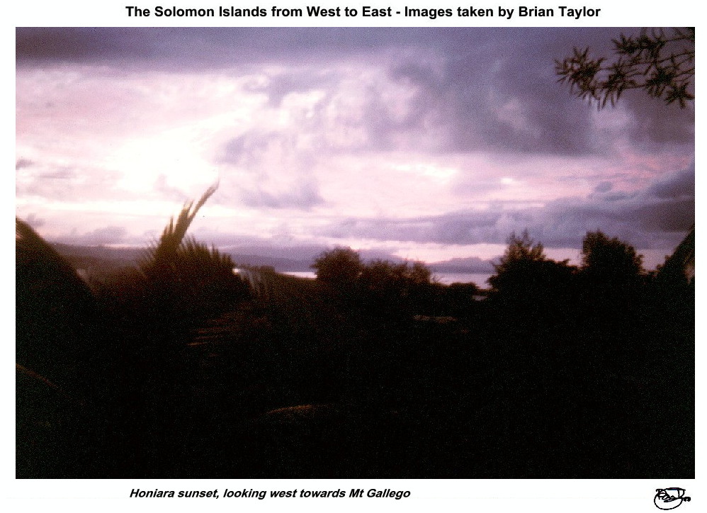 Title: Honiara sunset, looking west towards Mt. Gallego |
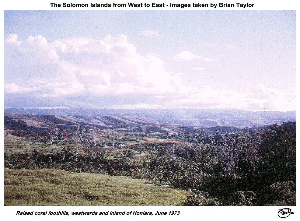 Title: Raised coral foothills, westwards and inland of Honiara, June 1973 |
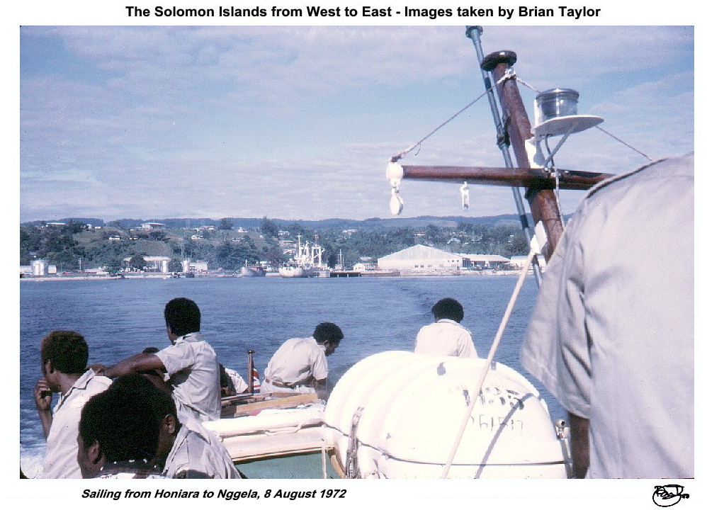 Title: Sailing from Honiara to Nggela, 8 August 1972 |
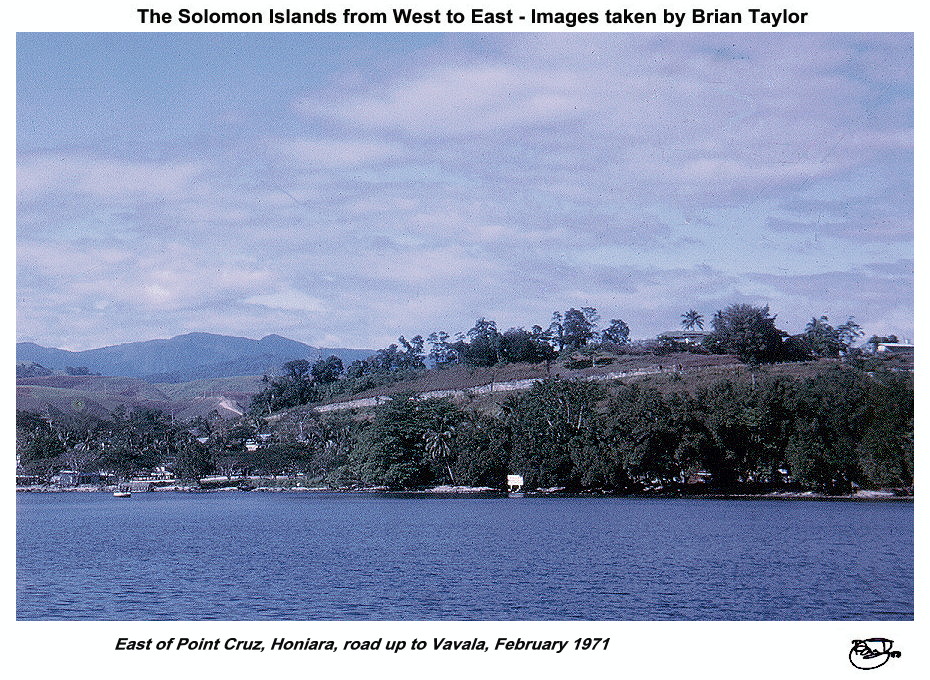 Title: East of Point Cruz, Honiara, road up to Vavala, February 1971 |
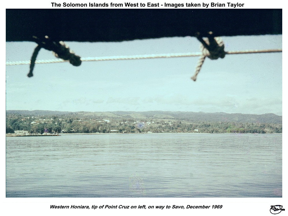 Title: Western Honiara, tip of Point Cruz on left, on way to Savo, December 1969 |
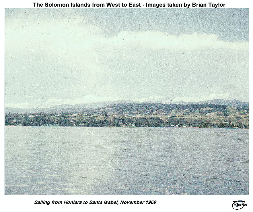
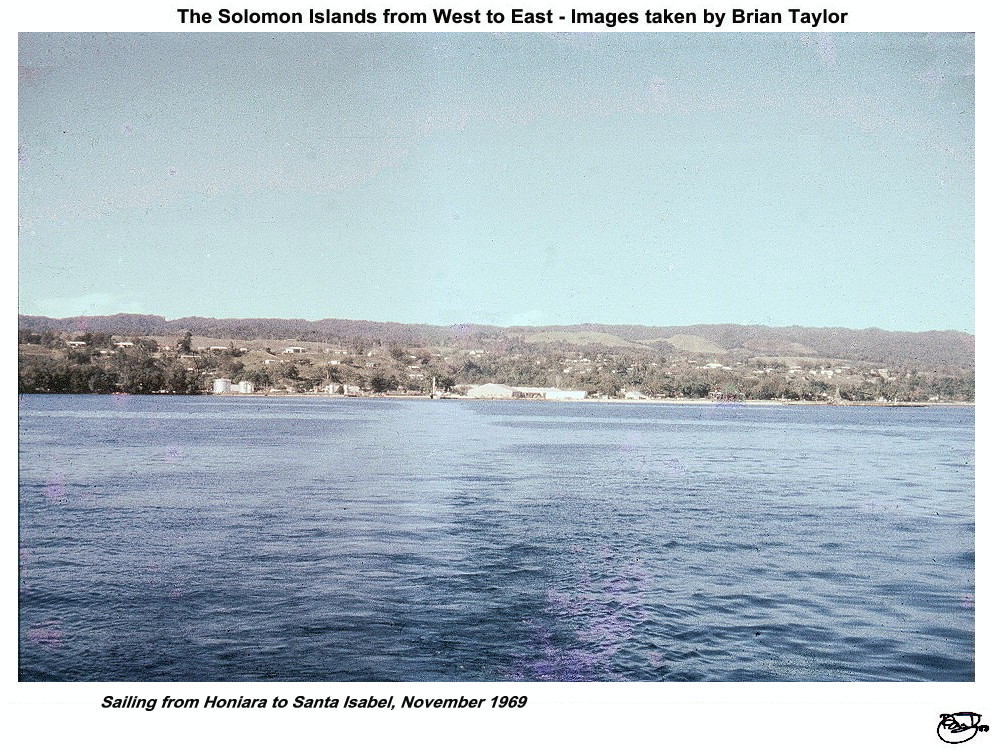 Title: Sailing from Honiara to Santa Isabel, November 1969 |
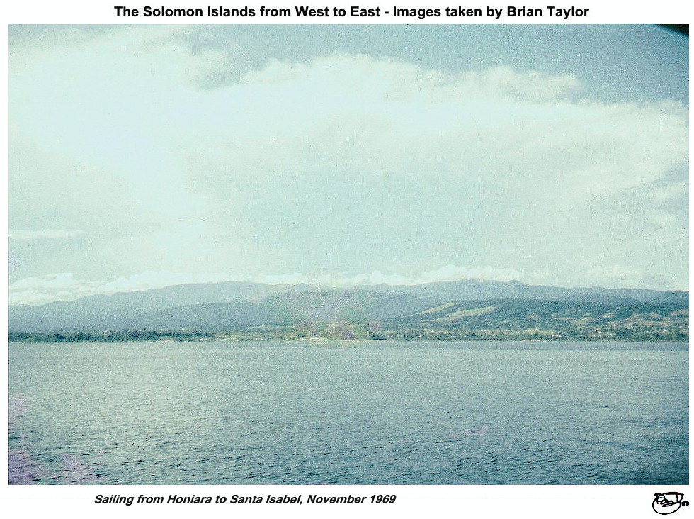
 Title: Sailing from Honiara to Santa Isabel, November 1969 |
 Title: Sailing from Honiara to Santa Isabel, November 1969 |
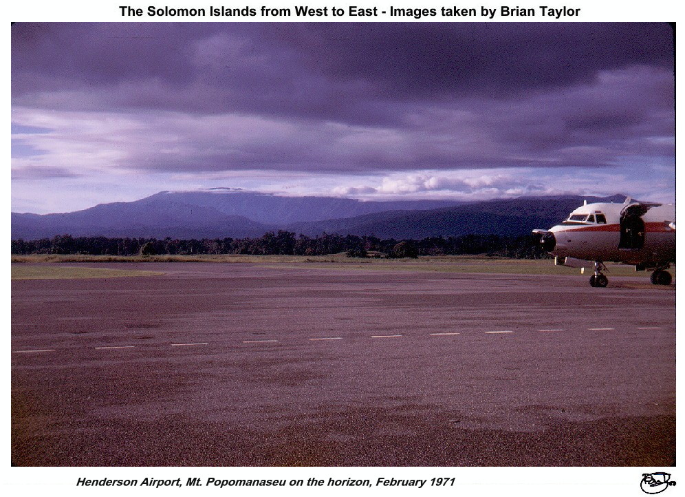 Title: Henderson Airport, Mt. Popomanaseu on the horizon, February 1971 |
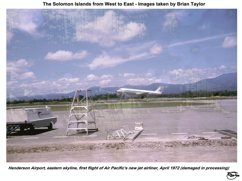 Title: Henderson Airport, eastern skyline, first flight of Air Pacific's new jet airliner, April 1972 (damaged in processing) |
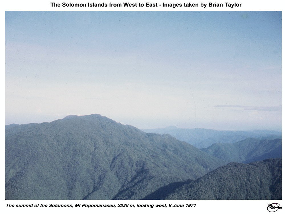 Title: The summit of the Solomons, Mt Popomanaseu, 2330 m, looking west, 9 June 1971 |
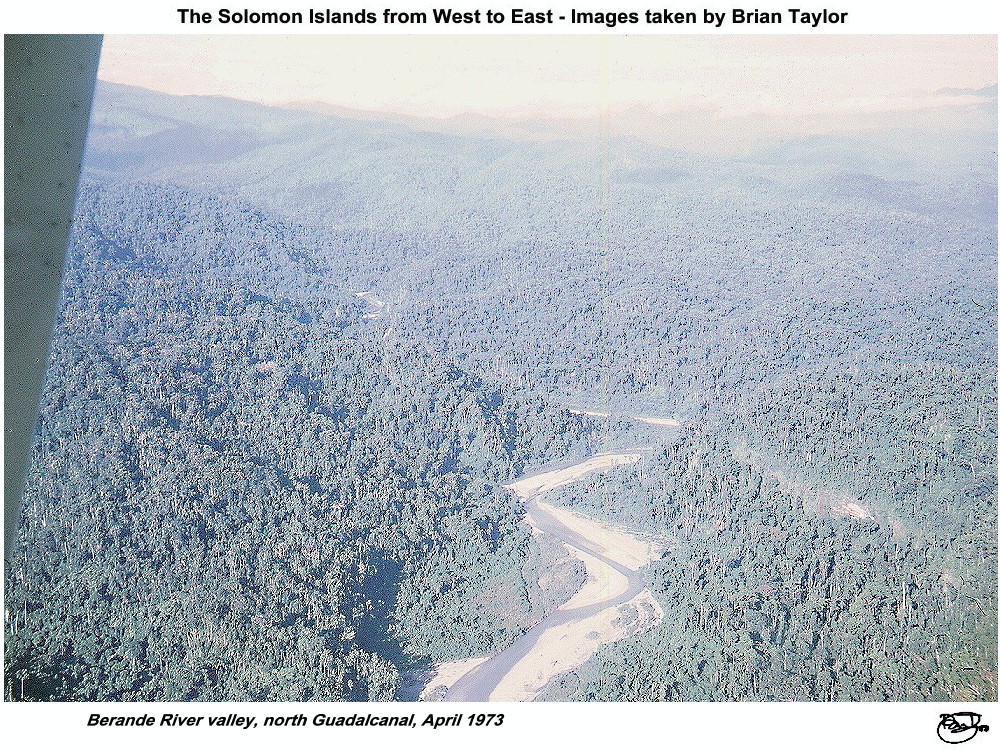 Title: Berande River valley, north Guadalcanal, April 1973 |
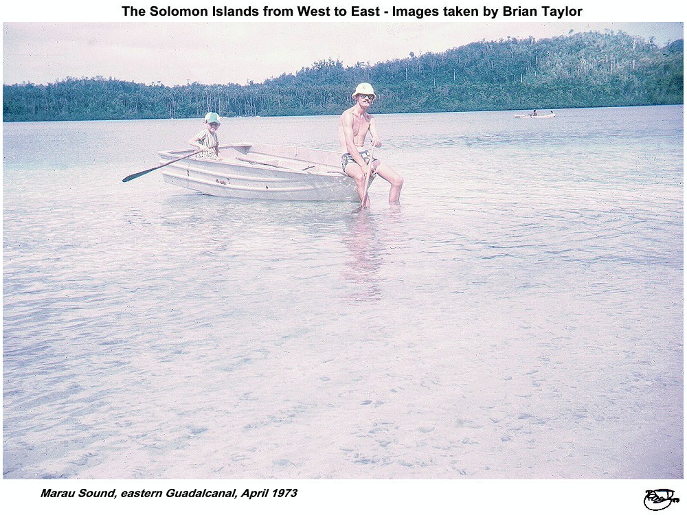 Title: Marau Sound, eastern Guadalcanal, April 1973 |
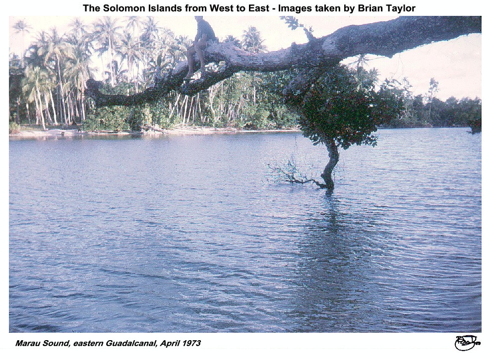 Title: Marau Sound, eastern Guadalcanal, April 1973 |
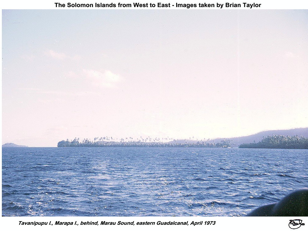 Title: Tavanipupu I., Marapa I., behind, Marau Sound, eastern Guadalcanal, April 1973 |
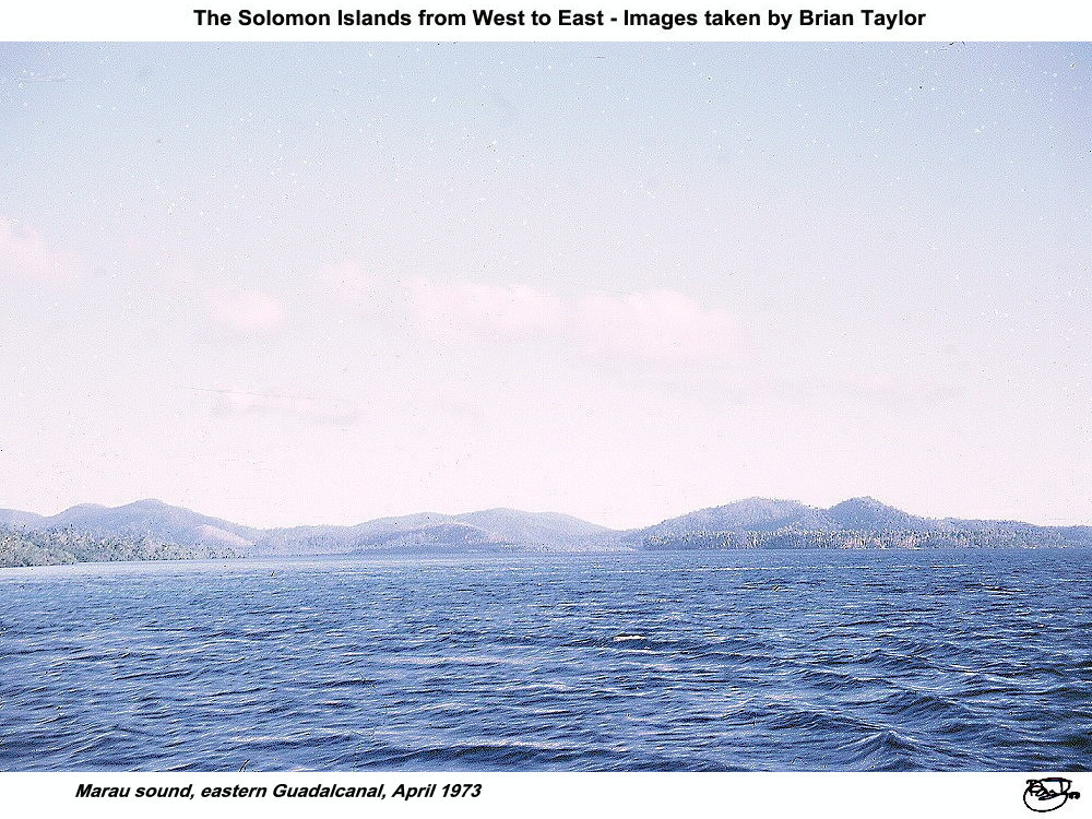 Title: Marau sound, eastern Guadalcanal, April 1973 |
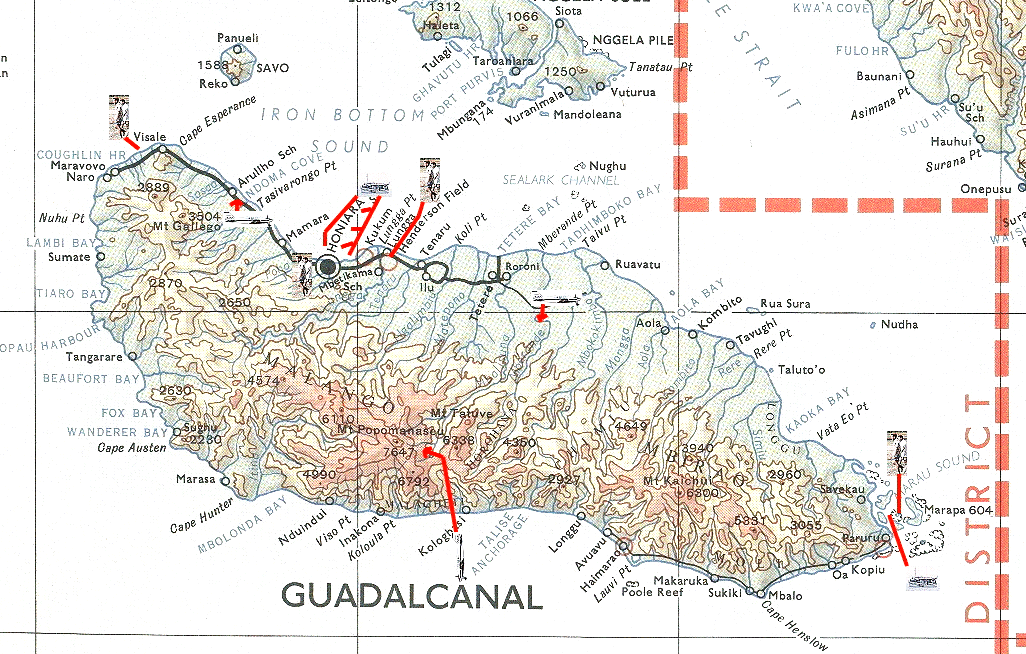
Location of photos from on-board ship |
Location of aerial photos |
Location of photos from on land |
| |
|
|
|
| ©2000 - Brian
Taylor CBiol FIBiol FRES 11, Grazingfield, Wilford, Nottingham, NG11 7FN, U.K. Visiting Academic in the Department of Life Science, University of Nottingham |
This page was created with ArcSoft Media Browser 2000.
Page 6 of 12